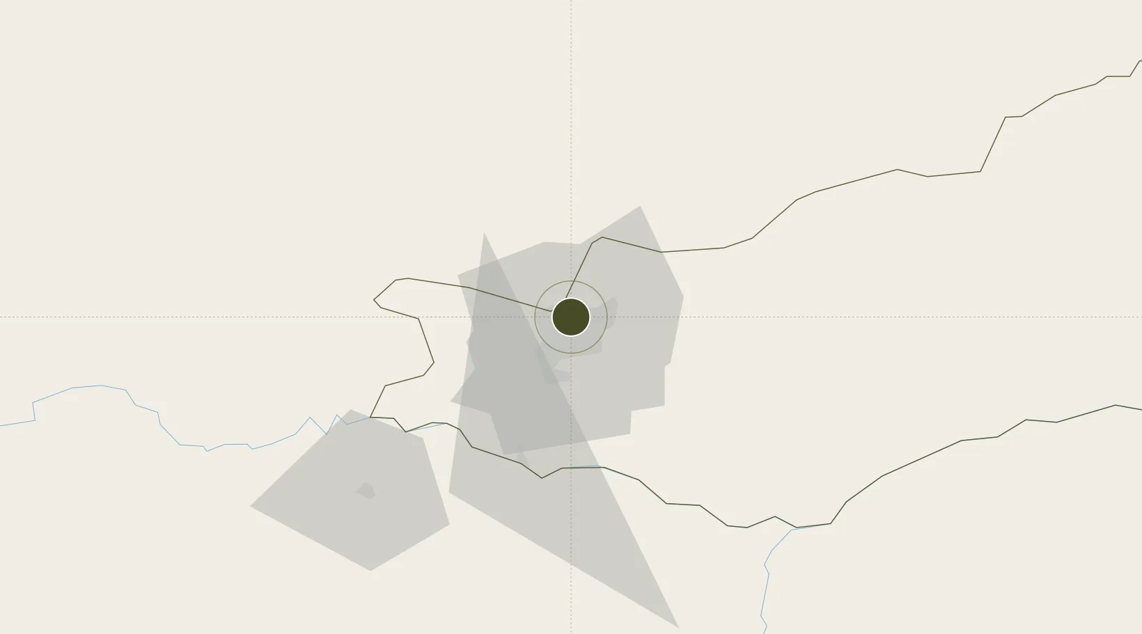
Diversified Zone · Zambia

Roma Multi-Facility Economic Zone Active

-15.3692°, 28.3176°
4 ha
Zone area
850.3 km
Nearest port
5.2 km
Nearest airport

Gateway access

Nearest neighbours — logibook spatial index (haversine) over the source coordinates

Zone profile

Zone type
Diversified Zone
Open Zone Map
Specialization
Manufacturing
Open Zone Map
Region
Lusaka
Open Zone Map
Status
Active
Open Zone Map
Management
Public-Private Partnership
Open Zone Map
Operator
Afritec Asset Management
Open Zone Map
Legal framework
Zambia Development Agency (ZDA) Act No. 11 of 2006
Open Zone Map

Location

Location of ozm-5204
Natural Earth 10m (public domain) · Lusaka · ozm-5204 · -15.37, 28.32GoogleOSMYandex

Nearby Logistics Neighbours

Ports
  1. 1Beira850 km
  2. 2Chinde940 km
  3. 3Quelimane954 km
  4. 4Porto Belo980 km
  5. 5Pebane1070 km
Nearest neighbours — logibook spatial index (haversine) over the source coordinates
Airports
  1. 1Lusaka City Airport5 km
  2. 2Kenneth Kaunda International Airport15 km
  3. 3Kariba Airport142 km
  4. 4Peter Zuze Air Force Base266 km
  5. 5Simon Mwansa Kapwepwe International Airport268 km
Nearest neighbours — logibook spatial index (haversine) over the source coordinates
Cities
  1. 1Mazabuka81 km
  2. 2Siavonga136 km
  3. 3Kalulishi283 km
  4. 4Kalulushi283 km
  5. 5Sakania292 km
Nearest neighbours — logibook spatial index (haversine) over the source coordinates
DatabookThe Record of Consolidated Knowledge
Zambia beyond logistics?
Browse databook

All Sources

Trade ZonesOpen Zone Map
CC BY
Portsthe NGA World Port Index
Public domain (US gov)
AirportsOurAirports
Public domain
LocationsUN/LOCODE
UN/LOCODE — free
← Zambia trade zones