Free Trade Zone · Vietnam

Vung Ang Coastal Economic Zone Active
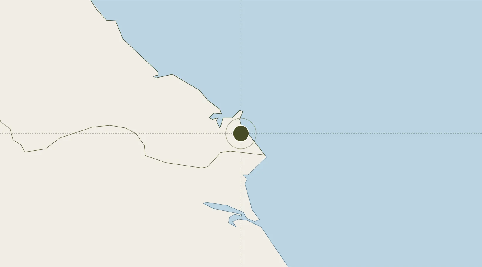
18.0400°, 106.4272°
22,781 ha
Zone area
106.7 km
Nearest port
60.9 km
Nearest airport

Gateway access

Nearest neighbours — logibook spatial index (haversine) over the source coordinates

Zone profile

Zone type
Free Trade Zone
Open Zone Map
Region
Ha Tinh
Open Zone Map
Status
Active
Open Zone Map
Management
Public
Open Zone Map
Operator
Vung Ang Economic Zone Authority
Open Zone Map
Legal framework
Decision No. 72/2006/QD-TTg, Decision No. 19/2010/QD-TTg, Decision No. 1353/QD·TTg Sept. 23, 2008
Open Zone Map

Location

Location of ozm-5195
Natural Earth 10m (public domain) · Ha Tinh · ozm-5195 · 18.04, 106.43GoogleOSMYandex

Nearby Logistics Neighbours

Ports
  1. 1Nghe Tinh107 km
  2. 2Basuo259 km
  3. 3Da Nang288 km
  4. 4Sanya321 km
  5. 5Hai Phong321 km
Nearest neighbours — logibook spatial index (haversine) over the source coordinates
Airports
  1. 1Dong Hoi Airport61 km
  2. 2Vinh Airport111 km
  3. 3Nakhon Phanom Airport203 km
  4. 4Phu Bai International Airport227 km
  5. 5Tho Xuan Airport230 km
Nearest neighbours — logibook spatial index (haversine) over the source coordinates
Cities
  1. 1Vung Áng3 km
  2. 2Son Duong Port7 km
  3. 3Hon La Port15 km
  4. 4Dông Hài21 km
  5. 5Quäng Bình61 km
Nearest neighbours — logibook spatial index (haversine) over the source coordinates
Trade Zones
  1. 1Vung Ang Economic Zone7 km
  2. 2Hòn La Coastal Economic Zone13 km
  3. 3Western Gateway Industrial Park19 km
  4. 4Bac Đồng Hới Industrial Zone59 km
  5. 5(Tay) Đồng Hới Industrial Park64 km
Nearest neighbours — logibook spatial index (haversine) over the source coordinates
DatabookThe Record of Consolidated Knowledge
Vietnam beyond logistics?
Browse databook

All Sources

Trade ZonesOpen Zone Map
CC BY
Portsthe NGA World Port Index
Public domain (US gov)
AirportsOurAirports
Public domain
LocationsUN/LOCODE
UN/LOCODE — free
← Vietnam trade zones