Channel & Berth Profile
Pilotage, Tugs & Services
Pilotage compulsoryYES
Pilotage availableYES
Tug assistanceYES
Potable waterYES
MedicalYES
Facilities & Capabilities
Container—
Ro-Ro—
Liquid bulk—
Dry bulk—
Oil terminal—
Break bulk—
Dry dock—
RepairsNO
BunkeringYES
Rail linkYES
Dangerous cargo—
ISPS security—
Harbour Specifications
Harbour size
Small
Harbour type
Coastal (Breakwater)
Shelter
Good
Water body
Gulf of Tonkin; South China Sea; North Pacific Ocean
Tidal range
2 m
Pilotage
Yes
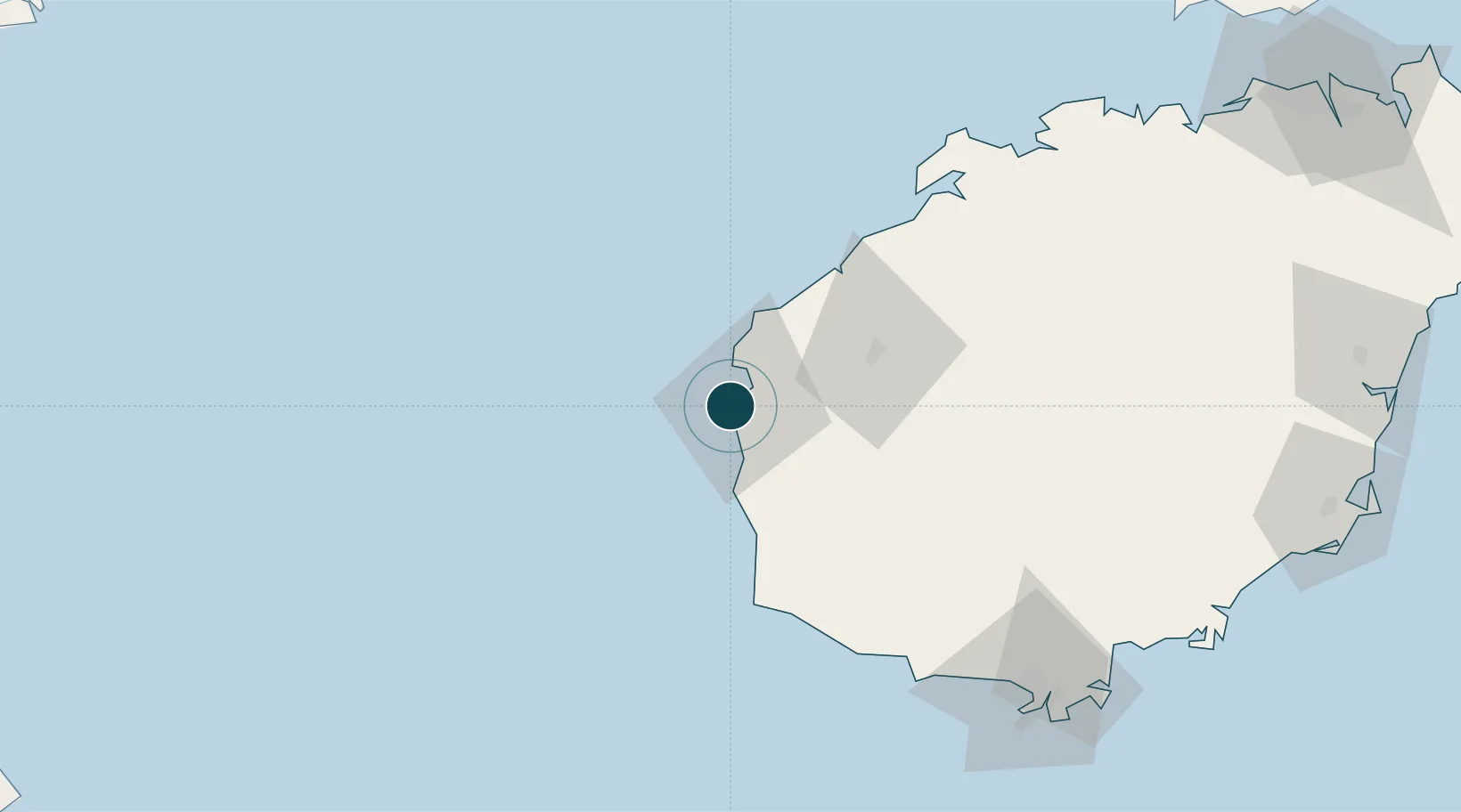
Location
Nearby Logistics Neighbours
Cities
- 1Dongfang34 km
- 2Yangpu Pt82 km
- 3Baimajing92 km
- 4Xinying99 km
- 5Haikou New Pt130 km
Airports
- 1Foluo Northeast Air Base73 km
- 2Sanya Phoenix International Airport122 km
- 3Sanya Air Base127 km
- 4Jialaishi Air Base134 km
- 5Lingshui Air Base159 km
DatabookThe Record of Consolidated Knowledge
China beyond logistics?