UN/LOCODE hub · Vietnam
VNSDP

Son Duong Port

18.1000°, 106.4500°
1
Transport functions

Transport Functions

Port
UN/LOCODE

Hub Profile

Region
23
GeoNames

Location

Location of VNSDP
Natural Earth 10m (public domain) · 23 · VNSDP · 18.10, 106.45GoogleOSMYandex

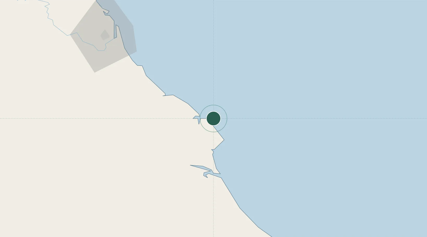
Nearby Logistics Neighbours

Cities
  1. 1Vung Áng4 km
  2. 2Dông Hài19 km
  3. 3Hon La Port20 km
  4. 4Quäng Bình68 km
  5. 5Quang Ninh80 km
Nearest neighbours — logibook spatial index (haversine) over the source coordinates
Ports
  1. 1Nghe Tinh103 km
  2. 2Basuo254 km
  3. 3Da Nang291 km
  4. 4Hai Phong314 km
  5. 5Sanya318 km
Nearest neighbours — logibook spatial index (haversine) over the source coordinates
Airports
  1. 1Dong Hoi Airport67 km
  2. 2Vinh Airport109 km
  3. 3Nakhon Phanom Airport207 km
  4. 4Tho Xuan Airport225 km
  5. 5Phu Bai International Airport231 km
Nearest neighbours — logibook spatial index (haversine) over the source coordinates
Trade Zones
  1. 1Vung Ang Economic Zone5 km
  2. 2Vung Ang Coastal Economic Zone7 km
  3. 3Hòn La Coastal Economic Zone18 km
  4. 4Western Gateway Industrial Park26 km
  5. 5Bac Đồng Hới Industrial Zone65 km
Nearest neighbours — logibook spatial index (haversine) over the source coordinates
DatabookThe Record of Consolidated Knowledge
Vietnam beyond logistics?
Browse databook

All Sources

LocationsUN/LOCODE
UN/LOCODE — free
Portsthe NGA World Port Index
Public domain (US gov)
AirportsOurAirports
Public domain
Trade Zonesthe World Bank SEZ database
CC BY 4.0
Trade ZonesOpen Zone Map
CC BY
← Vietnam locations