Export Processing Zone · Vietnam

(Tay) Đồng Hới Industrial Park Active
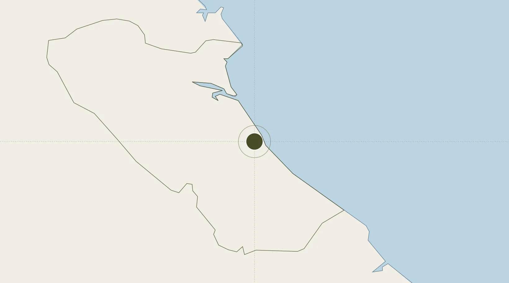
17.4885°, 106.5815°
6,256 ha
Zone area
166.2 km
Nearest port
3.1 km
Nearest airport

Gateway access

Nearest neighbours — logibook spatial index (haversine) over the source coordinates

Zone profile

Zone type
Export Processing Zone
Open Zone Map
Region
Quảng Bình
Open Zone Map
Status
Active
Open Zone Map
Management
Public-Private Partnership
Open Zone Map
Operator
Vietnam Investment Partners Co., Ltd
Open Zone Map
Legal framework
Decree No.82/2018/ND-CP on Management of Industrial Parks and Economic Zones, Decree No 218/2013/ND-CP
Open Zone Map

Location

Location of ozm-2386
Natural Earth 10m (public domain) · Quảng Bình · ozm-2386 · 17.49, 106.58GoogleOSMYandex

Nearby Logistics Neighbours

Ports
  1. 1Nghe Tinh166 km
  2. 2Da Nang233 km
  3. 3Basuo280 km
  4. 4Sanya317 km
  5. 5Yangpu371 km
Nearest neighbours — logibook spatial index (haversine) over the source coordinates
Airports
  1. 1Dong Hoi Airport3 km
  2. 2Vinh Airport169 km
  3. 3Phu Bai International Airport170 km
  4. 4Nakhon Phanom Airport206 km
  5. 5Savannakhet Airport220 km
Nearest neighbours — logibook spatial index (haversine) over the source coordinates
Cities
  1. 1Quang Ninh11 km
  2. 2Quäng Bình26 km
  3. 3Hon La Port50 km
  4. 4Vung Áng66 km
  5. 5Son Duong Port69 km
Nearest neighbours — logibook spatial index (haversine) over the source coordinates
Trade Zones
  1. 1Tay Bac Dong Hoi Industrial Zone3 km
  2. 2Hòn La Industrial Zone Ii4 km
  3. 3Hòn La Port Industrial Zone4 km
  4. 4Bac Đồng Hới Industrial Zone4 km
  5. 5Tay Bac Quan Hau Industrial Zone10 km
Nearest neighbours — logibook spatial index (haversine) over the source coordinates
DatabookThe Record of Consolidated Knowledge
Vietnam beyond logistics?
Browse databook

All Sources

Trade ZonesOpen Zone Map
CC BY
Portsthe NGA World Port Index
Public domain (US gov)
AirportsOurAirports
Public domain
LocationsUN/LOCODE
UN/LOCODE — free
← Vietnam trade zones