Small airport · Vietnam

Tho Xuan AirportVVTX
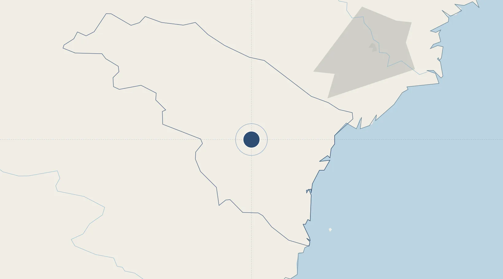
19.9017°, 105.4678°
10,499 ft
Longest runway
1
Runways
59 ft
Elevation

Runway & Layout

Tho Xuan Airport runway & taxiway layout
Runway & taxiway layout — OpenStreetMap (ODbL) / OurAirports

Runways · 1

RunwayDimensions SurfaceTrue headingLit
13/31 10,499 × 164ft Asphalt
OurAirports

Airport Specifications

IATA code
THD
OurAirports
ICAO code
VVTX
OurAirports
Airport class
Small airport
OurAirports
Scheduled service
Yes
OurAirports
Runway surface
Asphalt
OurAirports
Served city
Thanh Hóa
OurAirports

Location

Location of VVTX
Natural Earth 10m (public domain) · Thanh Hóa · VVTX · 19.90, 105.47GoogleOSMYandex

Nearby Logistics Neighbours

Airports
  1. 1Vinh Airport131 km
  2. 2Gia Lam Air Base134 km
  3. 3Noi Bai International Airport151 km
  4. 4Sam Neua Airport157 km
  5. 5Cat Bi International Airport166 km
Nearest neighbours — logibook spatial index (haversine) over the source coordinates
Cities
  1. 1Kim Dong51 km
  2. 2Nghi Son74 km
  3. 3Phu Lý84 km
  4. 4Nghe Tinh90 km
  5. 5Hoa Mac99 km
Nearest neighbours — logibook spatial index (haversine) over the source coordinates
Ports
  1. 1Nghe Tinh130 km
  2. 2Hai Phong170 km
  3. 3Hon Gai203 km
  4. 4Cam Pha234 km
  5. 5Basuo342 km
Nearest neighbours — logibook spatial index (haversine) over the source coordinates
Trade Zones
  1. 1Lam Sơn - Sao Vàng Industrial Zone2 km
  2. 2Định Hướng - Tay Ga Industrial Zone32 km
  3. 3Lễ Môn Industrial Park37 km
  4. 4Cam Liên Industrial Zone38 km
  5. 5Bỉm Sơn B Industrial Zone46 km
Nearest neighbours — logibook spatial index (haversine) over the source coordinates
DatabookThe Record of Consolidated Knowledge
Vietnam beyond logistics?
Browse databook

All Sources

AirportsOurAirports
Public domain
Portsthe NGA World Port Index
Public domain (US gov)
LocationsUN/LOCODE
UN/LOCODE — free
Trade Zonesthe World Bank SEZ database
CC BY 4.0
Trade ZonesOpen Zone Map
CC BY
InfrastructureOpenStreetMap
ODbL 1.0
← Vietnam airports