Economic Zone · Vietnam
Vung Ang Economic Zone
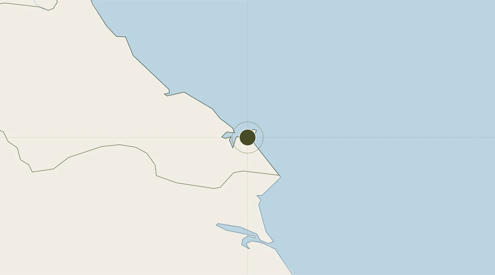
18.0976°, 106.4019°
100.1 km
Nearest port
67.8 km
Nearest airport
Gateway access
Zone profile
Zone type
Economic Zone
Region
Ha Tinh
Established
2006
Management
Public agency
Operator
Vung Ang Economic Zone Management Board
Regulatory authority
Prime Minister
Legal framework
Law on Foreign Investment in Vietnam, 1996; Decree No. 36/1997/CP on The Regulation of Industrial, Economic and Export processing zones
Location
Fiscal & incentives
Corporate tax
20%
Tax relief
100% exempt
Relief duration
4 years
VAT
No exemption
Import duty (inputs)
0% exempt
Import duty (capex)
100% exempt
Profit repatriation
No exemption
Capital gains
No exemption
Withholding tax
No exemption
Min. investment
None
Min. export
0%
Employment incentive
No exemption
Developer incentive
No established framework
Nearby Logistics Neighbours
Airports
- 1Dong Hoi Airport68 km
- 2Vinh Airport105 km
- 3Nakhon Phanom Airport203 km
- 4Tho Xuan Airport223 km
- 5Phu Bai International Airport234 km
Cities
- 1Vung Áng5 km
- 2Son Duong Port5 km
- 3Dông Hài15 km
- 4Hon La Port22 km
- 5Quäng Bình67 km
Trade Zones
DatabookThe Record of Consolidated Knowledge
Vietnam beyond logistics?