Medium airport · Thailand

Nakhon Phanom AirportVTUW
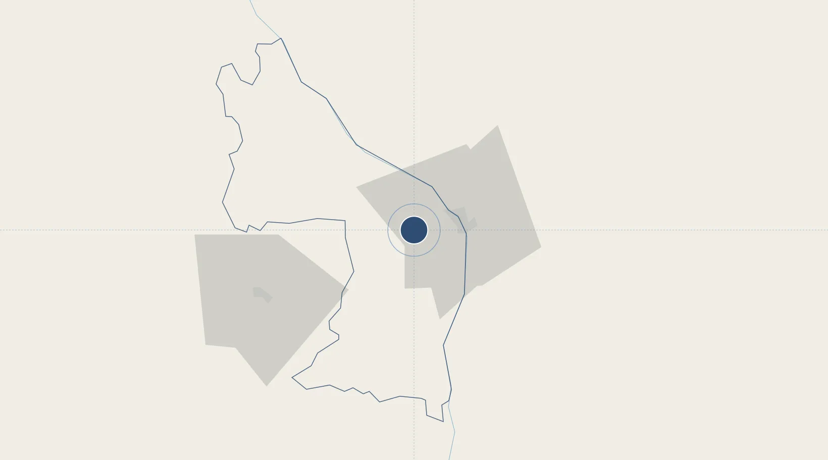
17.3838°, 104.6430°
8,203 ft
Longest runway
1
Runways
587 ft
Elevation

Runway & Layout

Nakhon Phanom Airport runway & taxiway layout
Runway & taxiway layout — OpenStreetMap (ODbL) / OurAirports

Radio Frequencies

TWR
122.5 MHz
APP
123.35 MHz
SAKHON NAKHON APP
OurAirports

Navaids

NKP VOR-DME Nakhon Phanom 111.60 MHz
NP NDB Nakhon Phanom 383 kHz
OurAirports

Runways · 1

RunwayDimensions SurfaceTrue headingLit
15/33 8,203 × 148ft Asphalt 145°
OurAirports

Airport Specifications

IATA code
KOP
OurAirports
ICAO code
VTUW
OurAirports
Airport class
Medium airport
OurAirports
Scheduled service
Yes
OurAirports
Runway surface
Asphalt
OurAirports
Served city
Nakhon Phanom
OurAirports

Location

Location of VTUW
Natural Earth 10m (public domain) · Nakhon Phanom · VTUW · 17.38, 104.64GoogleOSMYandex

Nearby Logistics Neighbours

Airports
  1. 1Sakon Nakhon Airport60 km
  2. 2Savannakhet Airport93 km
  3. 3Roi Et Airport169 km
  4. 4Vinh Airport186 km
  5. 5Udon Thani International Airport197 km
Nearest neighbours — logibook spatial index (haversine) over the source coordinates
Cities
  1. 1Thakhek15 km
  2. 2Savannakhét87 km
  3. 3Rao Qua138 km
  4. 4Van Lâm172 km
  5. 5Quäng Bình180 km
Nearest neighbours — logibook spatial index (haversine) over the source coordinates
Ports
  1. 1Nghe Tinh194 km
  2. 2Da Nang406 km
  3. 3Hai Phong448 km
  4. 4Basuo461 km
  5. 5Hon Gai471 km
Nearest neighbours — logibook spatial index (haversine) over the source coordinates
Trade Zones
  1. 1Thakhek Specific Economic Zone15 km
  2. 2Phoukhyo Specific Economic Zone17 km
  3. 3Savan-Seno Special Economic Zone88 km
  4. 4Mukdahan Special Economic Zone93 km
  5. 5Cha Lo Border Gate Economic Zone 138 km
Nearest neighbours — logibook spatial index (haversine) over the source coordinates
DatabookThe Record of Consolidated Knowledge
Thailand beyond logistics?
Browse databook

All Sources

AirportsOurAirports
Public domain
Portsthe NGA World Port Index
Public domain (US gov)
LocationsUN/LOCODE
UN/LOCODE — free
Trade Zonesthe World Bank SEZ database
CC BY 4.0
Trade ZonesOpen Zone Map
CC BY
InfrastructureOpenStreetMap
ODbL 1.0
← Thailand airports