Transport Functions
Port
Hub Profile
Region
24
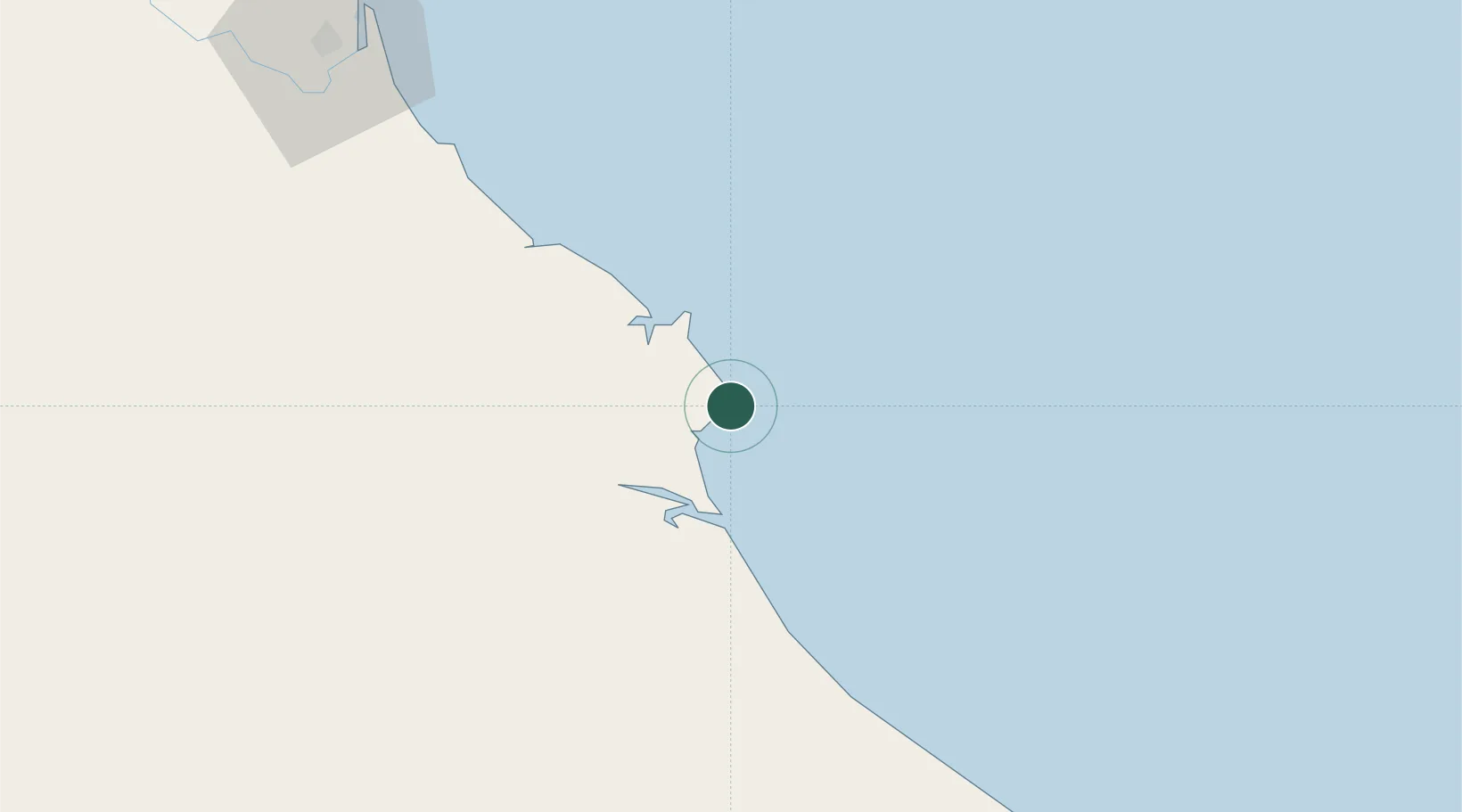
Location
Nearby Logistics Neighbours
Cities
- 1Vung Áng17 km
- 2Son Duong Port20 km
- 3Dông Hài36 km
- 4Quäng Bình52 km
- 5Quang Ninh61 km
Airports
- 1Dong Hoi Airport47 km
- 2Vinh Airport126 km
- 3Nakhon Phanom Airport208 km
- 4Phu Bai International Airport212 km
- 5Savannakhet Airport241 km
Trade Zones
DatabookThe Record of Consolidated Knowledge
Vietnam beyond logistics?