Medium airport · Vietnam
Vinh AirportVVVH
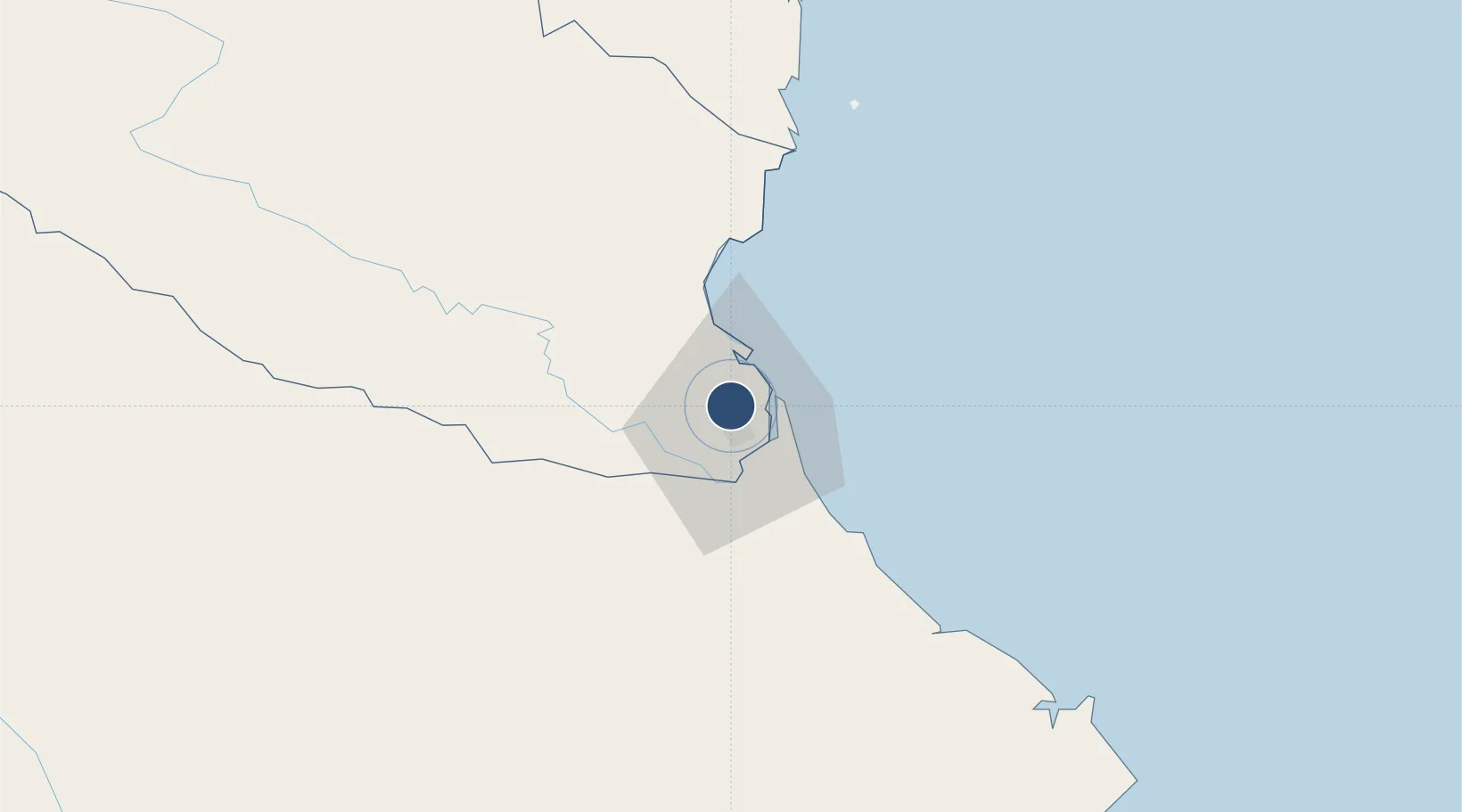
18.7376°, 105.6710°
7,875 ft
Longest runway
1
Runways
23 ft
Elevation
Runway & Layout

Navaids
VIN VOR-DME Vinh 113.10 MHz
XW NDB Vinh 218 kHz
Runways · 1
| Runway | Dimensions | Surface | True heading | Lit |
|---|---|---|---|---|
| 17/35 | 7,875 × 148ft | Asphalt | 173° | — |
Airport Specifications
IATA code
VII
ICAO code
VVVH
Airport class
Medium airport
Scheduled service
Yes
Runway surface
Asphalt
Served city
Vinh
Location
Nearby Logistics Neighbours
Airports
- 1Tho Xuan Airport131 km
- 2Dong Hoi Airport167 km
- 3Nakhon Phanom Airport186 km
- 4Sakon Nakhon Airport237 km
- 5Sam Neua Airport251 km
Trade Zones
DatabookThe Record of Consolidated Knowledge
Vietnam beyond logistics?