Diversified Zone · Vietnam

Western Gateway Industrial Park Active
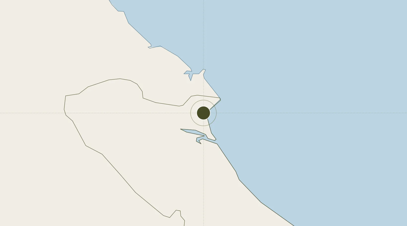
17.8672°, 106.4229°
122 ha
Zone area
121.7 km
Nearest port
43.0 km
Nearest airport

Gateway access

Nearest neighbours — logibook spatial index (haversine) over the source coordinates

Zone profile

Zone type
Diversified Zone
Open Zone Map
Region
Quảng Bình
Open Zone Map
Status
Active
Open Zone Map
Management
Public
Open Zone Map
Operator
Quang Binh Economic Zone Authority
Open Zone Map
Legal framework
Decree No.82/2018/ND-CP on Management of Industrial Parks and Economic Zones, Decree No 218/2013/ND-CP
Open Zone Map

Location

Location of ozm-282
Natural Earth 10m (public domain) · Quảng Bình · ozm-282 · 17.87, 106.42GoogleOSMYandex

Nearby Logistics Neighbours

Ports
  1. 1Nghe Tinh122 km
  2. 2Basuo269 km
  3. 3Da Nang274 km
  4. 4Sanya324 km
  5. 5Hai Phong340 km
Nearest neighbours — logibook spatial index (haversine) over the source coordinates
Airports
  1. 1Dong Hoi Airport43 km
  2. 2Vinh Airport125 km
  3. 3Nakhon Phanom Airport196 km
  4. 4Phu Bai International Airport212 km
  5. 5Savannakhet Airport229 km
Nearest neighbours — logibook spatial index (haversine) over the source coordinates
Cities
  1. 1Hon La Port12 km
  2. 2Vung Áng22 km
  3. 3Son Duong Port26 km
  4. 4Dông Hài36 km
  5. 5Quäng Bình42 km
Nearest neighbours — logibook spatial index (haversine) over the source coordinates
Trade Zones
  1. 1Hòn La Coastal Economic Zone11 km
  2. 2Vung Ang Coastal Economic Zone19 km
  3. 3Vung Ang Economic Zone26 km
  4. 4Bac Đồng Hới Industrial Zone41 km
  5. 5(Tay) Đồng Hới Industrial Park45 km
Nearest neighbours — logibook spatial index (haversine) over the source coordinates
DatabookThe Record of Consolidated Knowledge
Vietnam beyond logistics?
Browse databook

All Sources

Trade ZonesOpen Zone Map
CC BY
Portsthe NGA World Port Index
Public domain (US gov)
AirportsOurAirports
Public domain
LocationsUN/LOCODE
UN/LOCODE — free
← Vietnam trade zones