Free Trade Zone · Vietnam

Hòn La Coastal Economic Zone Active
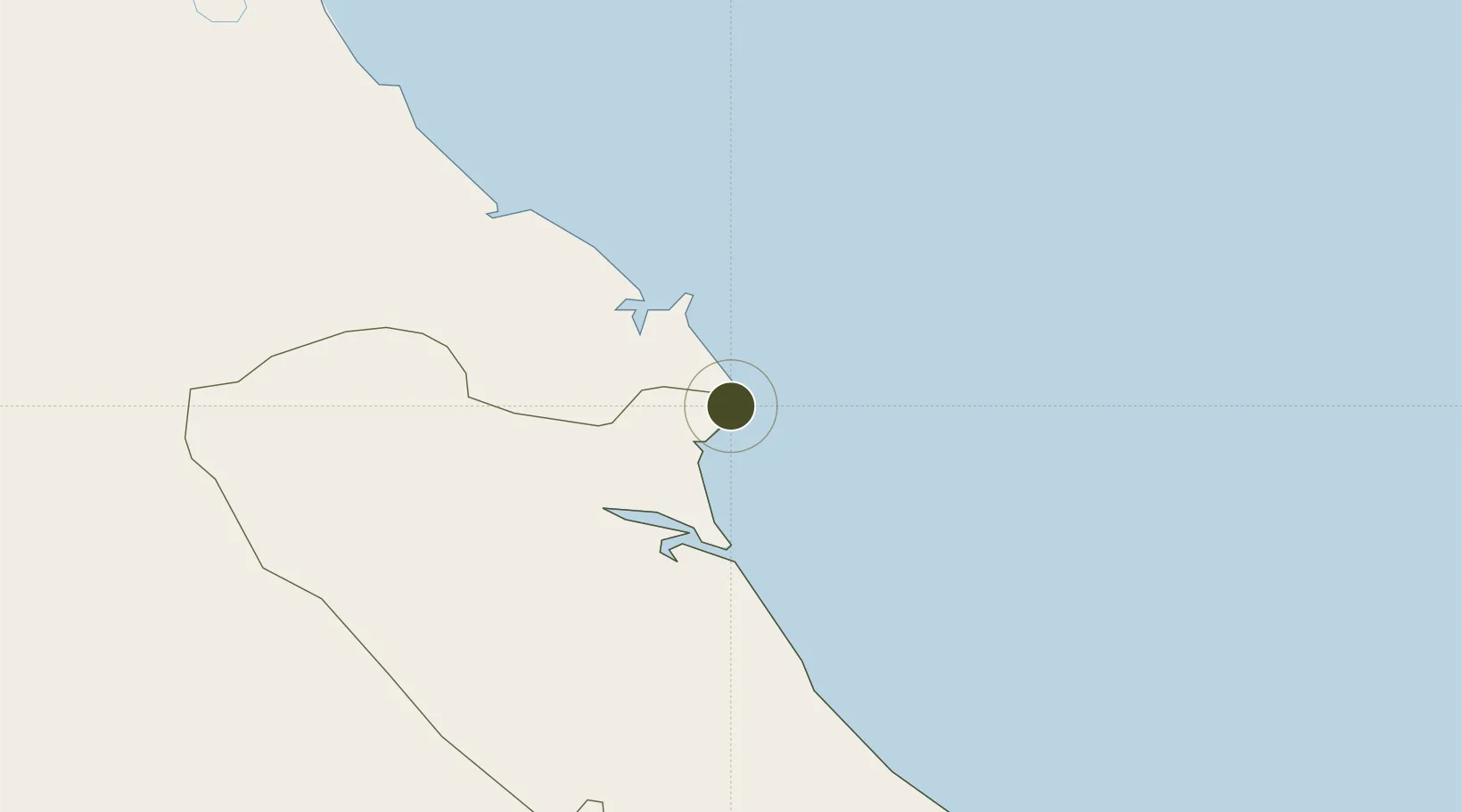
17.9407°, 106.4974°
9,964 ha
Zone area
119.9 km
Nearest port
48.4 km
Nearest airport

Gateway access

Nearest neighbours — logibook spatial index (haversine) over the source coordinates

Zone profile

Zone type
Free Trade Zone
Open Zone Map
Region
Quảng Bình
Open Zone Map
Status
Active
Open Zone Map
Management
Public
Open Zone Map
Operator
Management Board of Hon La Economic Zone
Open Zone Map
Legal framework
Decision No. 79/2008/QD-TTg, Decision No. 1353/QD·TTg Sept. 23, 2008
Open Zone Map

Location

Location of ozm-5028
Natural Earth 10m (public domain) · Quảng Bình · ozm-5028 · 17.94, 106.50GoogleOSMYandex

Nearby Logistics Neighbours

Ports
  1. 1Nghe Tinh120 km
  2. 2Basuo258 km
  3. 3Da Nang274 km
  4. 4Sanya315 km
  5. 5Hai Phong332 km
Nearest neighbours — logibook spatial index (haversine) over the source coordinates
Airports
  1. 1Dong Hoi Airport48 km
  2. 2Vinh Airport124 km
  3. 3Nakhon Phanom Airport206 km
  4. 4Phu Bai International Airport214 km
  5. 5Savannakhet Airport240 km
Nearest neighbours — logibook spatial index (haversine) over the source coordinates
Cities
  1. 1Hon La Port2 km
  2. 2Vung Áng16 km
  3. 3Son Duong Port18 km
  4. 4Dông Hài34 km
  5. 5Quäng Bình52 km
Nearest neighbours — logibook spatial index (haversine) over the source coordinates
Trade Zones
  1. 1Western Gateway Industrial Park11 km
  2. 2Vung Ang Coastal Economic Zone13 km
  3. 3Vung Ang Economic Zone20 km
  4. 4Bac Đồng Hới Industrial Zone47 km
  5. 5(Tay) Đồng Hới Industrial Park51 km
Nearest neighbours — logibook spatial index (haversine) over the source coordinates
DatabookThe Record of Consolidated Knowledge
Vietnam beyond logistics?
Browse databook

All Sources

Trade ZonesOpen Zone Map
CC BY
Portsthe NGA World Port Index
Public domain (US gov)
AirportsOurAirports
Public domain
LocationsUN/LOCODE
UN/LOCODE — free
← Vietnam trade zones