Transport Functions
Port
Road
Hub Profile
Region
23
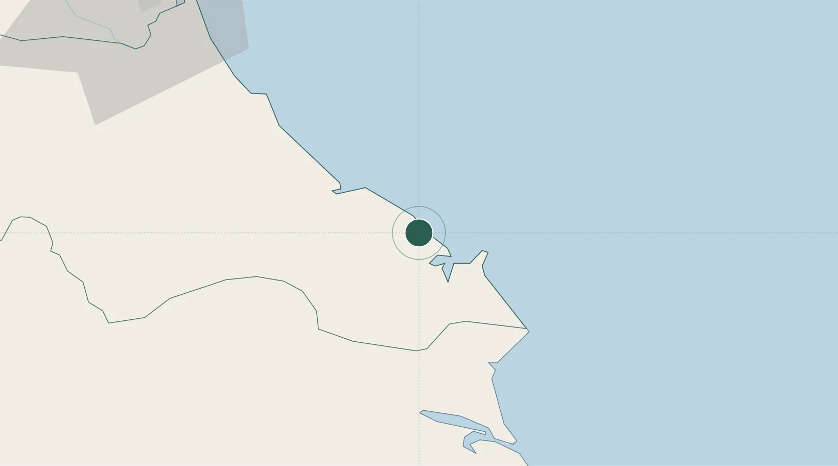
Location
Nearby Logistics Neighbours
Cities
- 1Son Duong Port19 km
- 2Vung Áng19 km
- 3Hon La Port36 km
- 4Quäng Bình74 km
- 5Vinh91 km
Airports
- 1Dong Hoi Airport79 km
- 2Vinh Airport91 km
- 3Nakhon Phanom Airport194 km
- 4Tho Xuan Airport211 km
- 5Savannakhet Airport241 km
Trade Zones
DatabookThe Record of Consolidated Knowledge
Vietnam beyond logistics?