Medium airport · Vietnam

Dong Hoi AirportVVDH
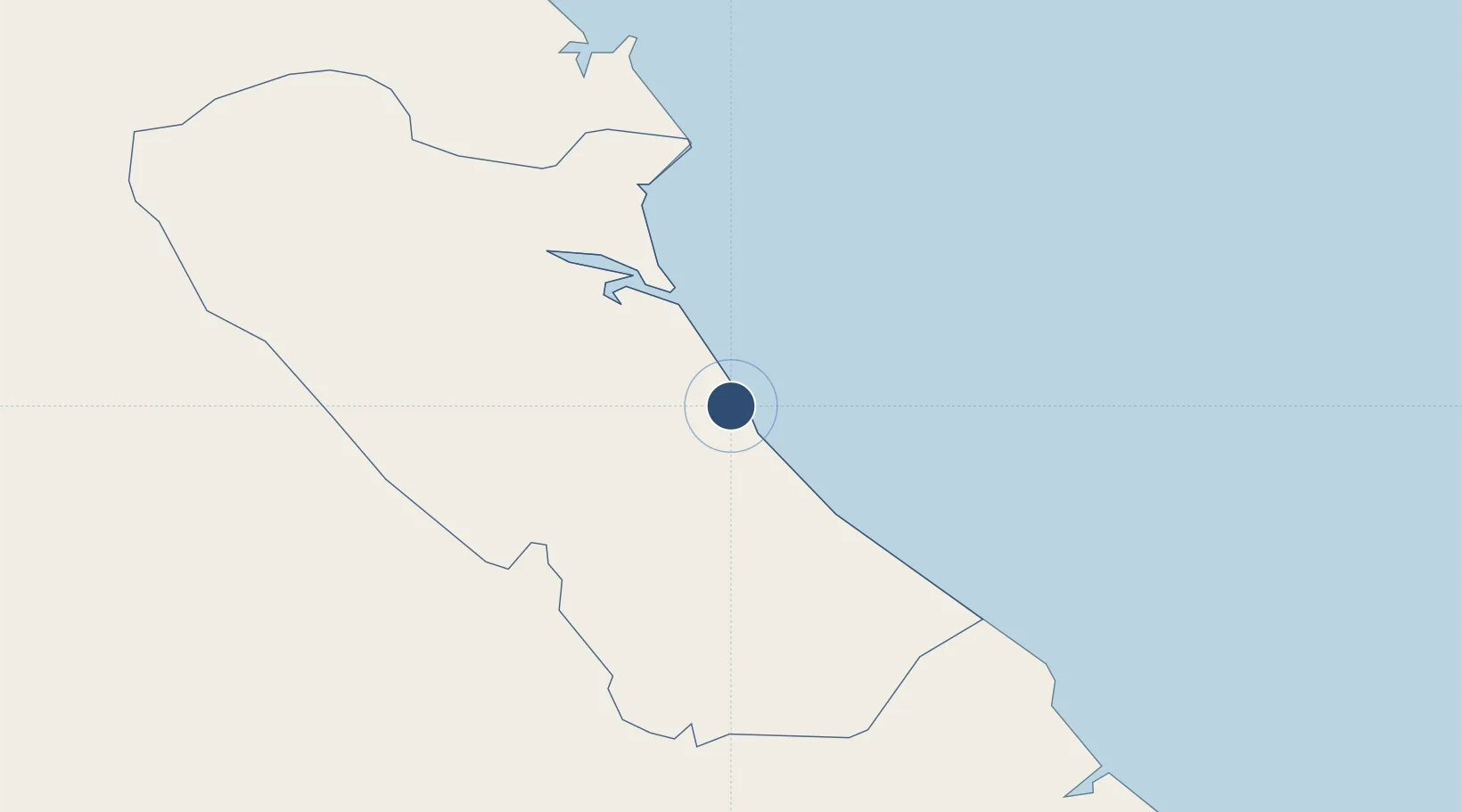
17.5150°, 106.5906°
7,874 ft
Longest runway
1
Runways
59 ft
Elevation

Runway & Layout

Dong Hoi Airport runway & taxiway layout
Runway & taxiway layout — OpenStreetMap (ODbL) / OurAirports

Runways · 1

RunwayDimensions SurfaceTrue headingLit
11/29 7,874 × 148ft Concrete 114°
OurAirports

Airport Specifications

IATA code
VDH
OurAirports
ICAO code
VVDH
OurAirports
Airport class
Medium airport
OurAirports
Scheduled service
Yes
OurAirports
Runway surface
Concrete
OurAirports
Served city
Dong Hoi
OurAirports

Location

Location of VVDH
Natural Earth 10m (public domain) · Quảng Bình · VVDH · 17.52, 106.59GoogleOSMYandex

Nearby Logistics Neighbours

Airports
  1. 1Vinh Airport167 km
  2. 2Phu Bai International Airport171 km
  3. 3Nakhon Phanom Airport207 km
  4. 4Savannakhet Airport222 km
  5. 5Da Nang International Airport237 km
Nearest neighbours — logibook spatial index (haversine) over the source coordinates
Cities
  1. 1Quang Ninh14 km
  2. 2Quäng Bình27 km
  3. 3Hon La Port47 km
  4. 4Vung Áng64 km
  5. 5Son Duong Port67 km
Nearest neighbours — logibook spatial index (haversine) over the source coordinates
Ports
  1. 1Nghe Tinh164 km
  2. 2Da Nang234 km
  3. 3Basuo277 km
  4. 4Sanya315 km
  5. 5Yangpu368 km
Nearest neighbours — logibook spatial index (haversine) over the source coordinates
Trade Zones
  1. 1Bac Đồng Hới Industrial Zone3 km
  2. 2(Tay) Đồng Hới Industrial Park3 km
  3. 3Tay Bac Dong Hoi Industrial Zone4 km
  4. 4Hòn La Industrial Zone Ii5 km
  5. 5Hòn La Port Industrial Zone5 km
Nearest neighbours — logibook spatial index (haversine) over the source coordinates
DatabookThe Record of Consolidated Knowledge
Vietnam beyond logistics?
Browse databook

All Sources

AirportsOurAirports
Public domain
Portsthe NGA World Port Index
Public domain (US gov)
LocationsUN/LOCODE
UN/LOCODE — free
Trade Zonesthe World Bank SEZ database
CC BY 4.0
Trade ZonesOpen Zone Map
CC BY
InfrastructureOpenStreetMap
ODbL 1.0
← Vietnam airports