Transport Functions
Port
Road
Hub Profile
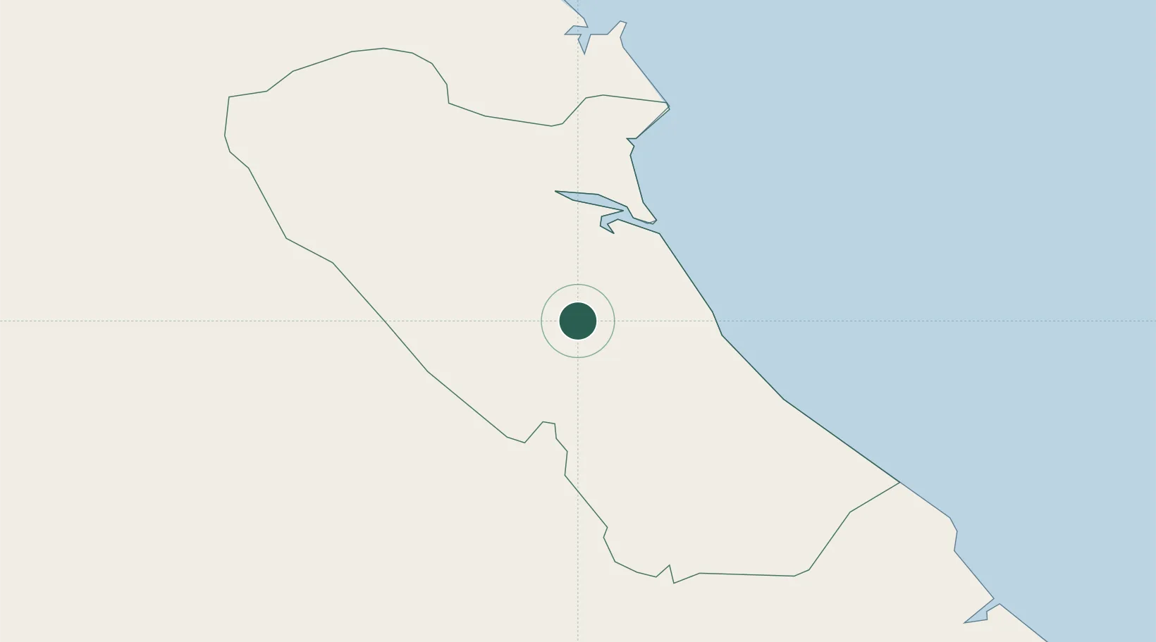
Place type
Populated place
Region
Vinh Long
Time zone
Asia/Ho_Chi_Minh
Elevation
5 m
Location
Nearby Logistics Neighbours
Cities
- 1Quang Ninh34 km
- 2Hon La Port52 km
- 3Vung Áng64 km
- 4Son Duong Port68 km
- 5Dông Hài74 km
Airports
- 1Dong Hoi Airport27 km
- 2Vinh Airport154 km
- 3Nakhon Phanom Airport180 km
- 4Phu Bai International Airport190 km
- 5Savannakhet Airport197 km
Trade Zones
DatabookThe Record of Consolidated Knowledge
Vietnam beyond logistics?