Free Trade Zone · Vietnam

Van Don Coastal Economic Zone Active
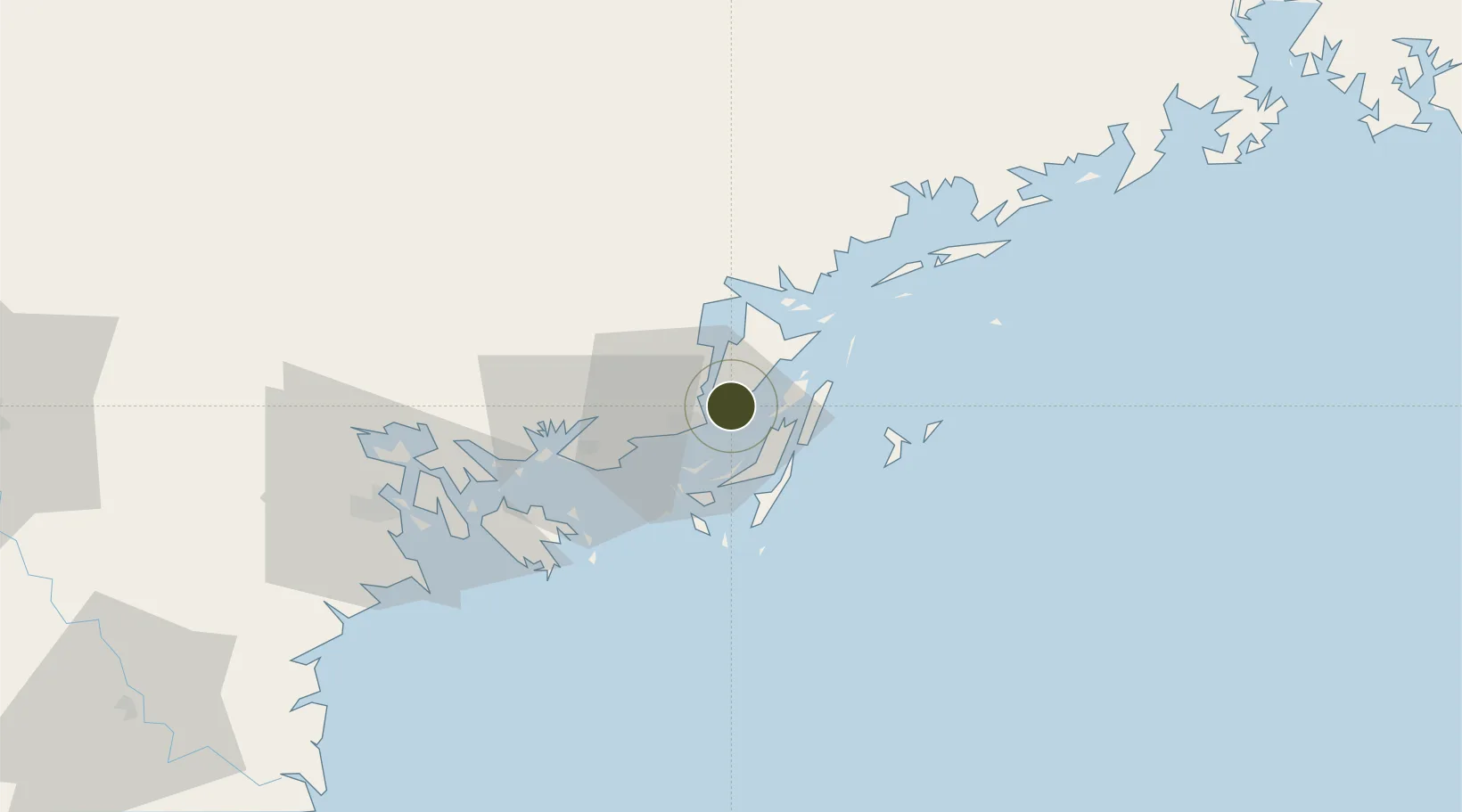
21.0632°, 107.4234°
55,133 ha
Zone area
6.8 km
Nearest port
6.4 km
Nearest airport

Gateway access

Nearest neighbours — logibook spatial index (haversine) over the source coordinates

Zone profile

Zone type
Free Trade Zone
Open Zone Map
Region
Quảng Ninh
Open Zone Map
Status
Active
Open Zone Map
Management
Public
Open Zone Map
Operator
Management Board of Van Don Economic Zone
Open Zone Map
Legal framework
Decision No. 120/2007 / QD-TTg, Decision No. 1353/QD·TTg Sept. 23, 2008
Open Zone Map

Location

Location of ozm-5193
Natural Earth 10m (public domain) · Quảng Ninh · ozm-5193 · 21.06, 107.42GoogleOSMYandex

Nearby Logistics Neighbours

Ports
  1. 1Cam Pha7 km
  2. 2Hon Gai39 km
  3. 3Hai Phong79 km
  4. 4Fang-Cheng123 km
  5. 5Qinzhou141 km
Nearest neighbours — logibook spatial index (haversine) over the source coordinates
Airports
  1. 1Van Don International Airport6 km
  2. 2Cat Bi International Airport78 km
  3. 3Baihe Ningming Air Base122 km
  4. 4Gia Lam Air Base160 km
  5. 5Noi Bai International Airport169 km
Nearest neighbours — logibook spatial index (haversine) over the source coordinates
Cities
  1. 1Ha Long40 km
  2. 2Van Phong65 km
  3. 3Nam Hai Dinh Vu Port66 km
  4. 4Dinh Vu Terminal71 km
  5. 5Haiphong74 km
Nearest neighbours — logibook spatial index (haversine) over the source coordinates
Trade Zones
  1. 1Cái Lân Industrial Park41 km
  2. 2Viet Hung Industrial Park45 km
  3. 3Hải Hà Seaport Industrial Park50 km
  4. 4Dinh Vu Industrial Zone72 km
  5. 5Dinh Vu - Cat Hai Economic Zone72 km
Nearest neighbours — logibook spatial index (haversine) over the source coordinates
DatabookThe Record of Consolidated Knowledge
Vietnam beyond logistics?
Browse databook

All Sources

Trade ZonesOpen Zone Map
CC BY
Portsthe NGA World Port Index
Public domain (US gov)
AirportsOurAirports
Public domain
LocationsUN/LOCODE
UN/LOCODE — free
← Vietnam trade zones