Large airport · Vietnam
Noi Bai International AirportVVNB
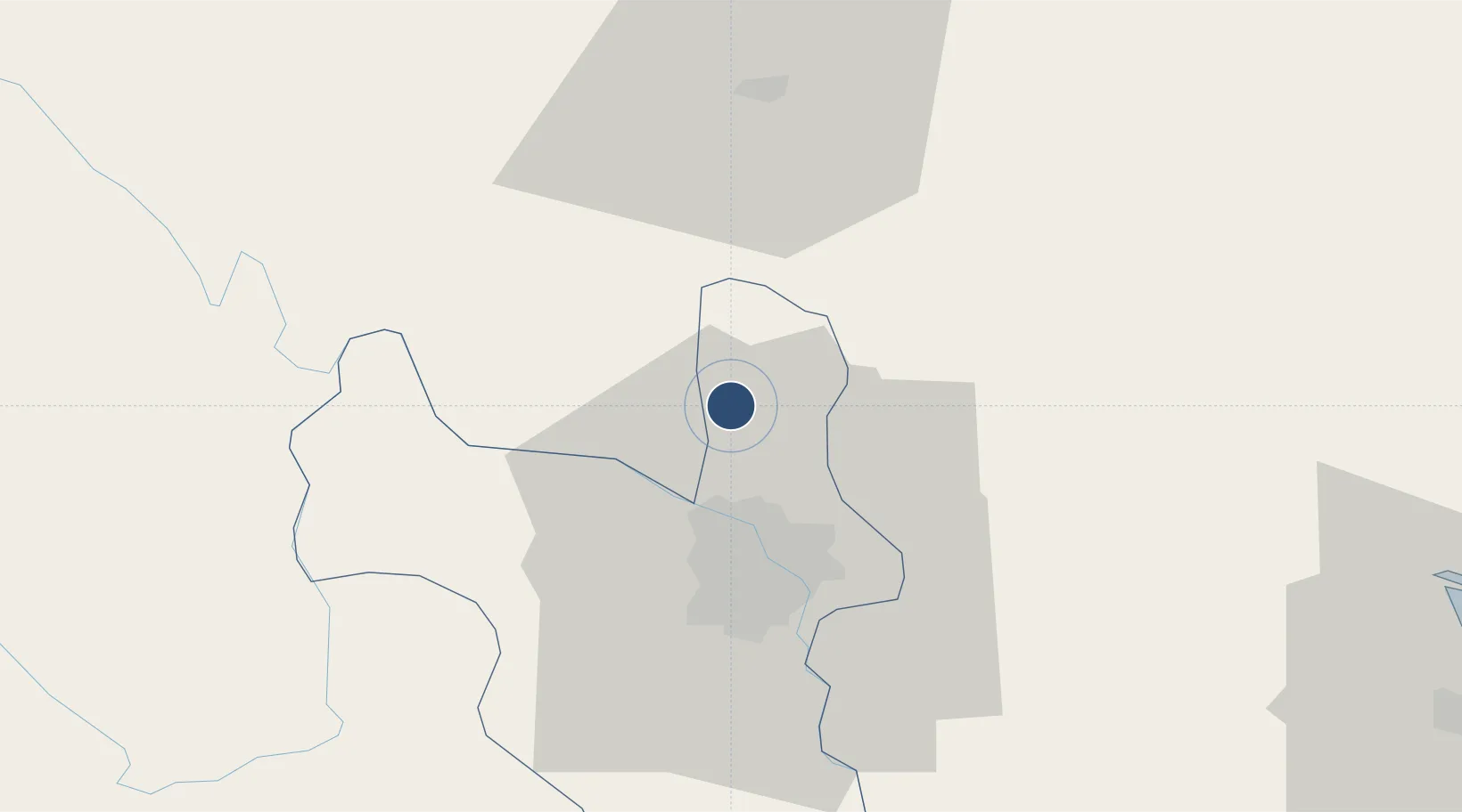
21.2212°, 105.8070°
12,466 ft
Longest runway
2
Runways
39 ft
Elevation
Runway & Layout

Radio Frequencies
ATIS
127 MHz
TWR
118.4 MHz
TWR
118.9 MHz
GND
121.65 MHz
GND
121.9 MHz
DEL
119.25 MHz
APP/DEP
120.075 MHz
APP/DEP
121 MHz
APP/DEP
125.1 MHz
APP/DEP
126.575 MHz
CTR
123.3 MHz
CTR
125.9 MHz
CTR
132.3 MHz
CTR
133.65 MHz
DEL/TWR
119.25 MHz
DEL/TWR
125.225 MHz
Navaids
K NDB Noibai 230 kHz
KW NDB Noibai 320 kHz
NOB VOR-DME Noibai 116.10 MHz
Runways · 2
| Runway | Dimensions | Surface | True heading | Lit |
|---|---|---|---|---|
| 11R/29L | 12,466 × 148ft | Concrete | 107° | ✓ |
| 11L/29R | 10,499 × 148ft | Concrete | 107° | ✓ |
Airport Specifications
IATA code
HAN
ICAO code
VVNB
Airport class
Large airport
Scheduled service
Yes
Runway surface
Concrete
Served city
Hanoi (Soc Son)
Location
Nearby Logistics Neighbours
Airports
- 1Gia Lam Air Base22 km
- 2Cat Bi International Airport105 km
- 3Tho Xuan Airport151 km
- 4Van Don International Airport167 km
- 5Baihe Ningming Air Base169 km
Cities
- 1Hanoi22 km
- 2Hoa Lac35 km
- 3Thái Nguyên37 km
- 4Luong Tai44 km
- 5Hoa Mac68 km
Ports
- 1Hai Phong97 km
- 2Hon Gai134 km
- 3Cam Pha163 km
- 4Fang-Cheng270 km
- 5Nghe Tinh273 km
Trade Zones
DatabookThe Record of Consolidated Knowledge
Vietnam beyond logistics?