UN/LOCODE hub · Vietnam
VNNHD

Nam Hai Dinh Vu Port

20.8167°, 106.8500°
3
Transport functions

Transport Functions

Port
Rail
Road
UN/LOCODE

Hub Profile

Region
HP
GeoNames

Location

Location of VNNHD
Natural Earth 10m (public domain) · HP · VNNHD · 20.82, 106.85GoogleOSMYandex

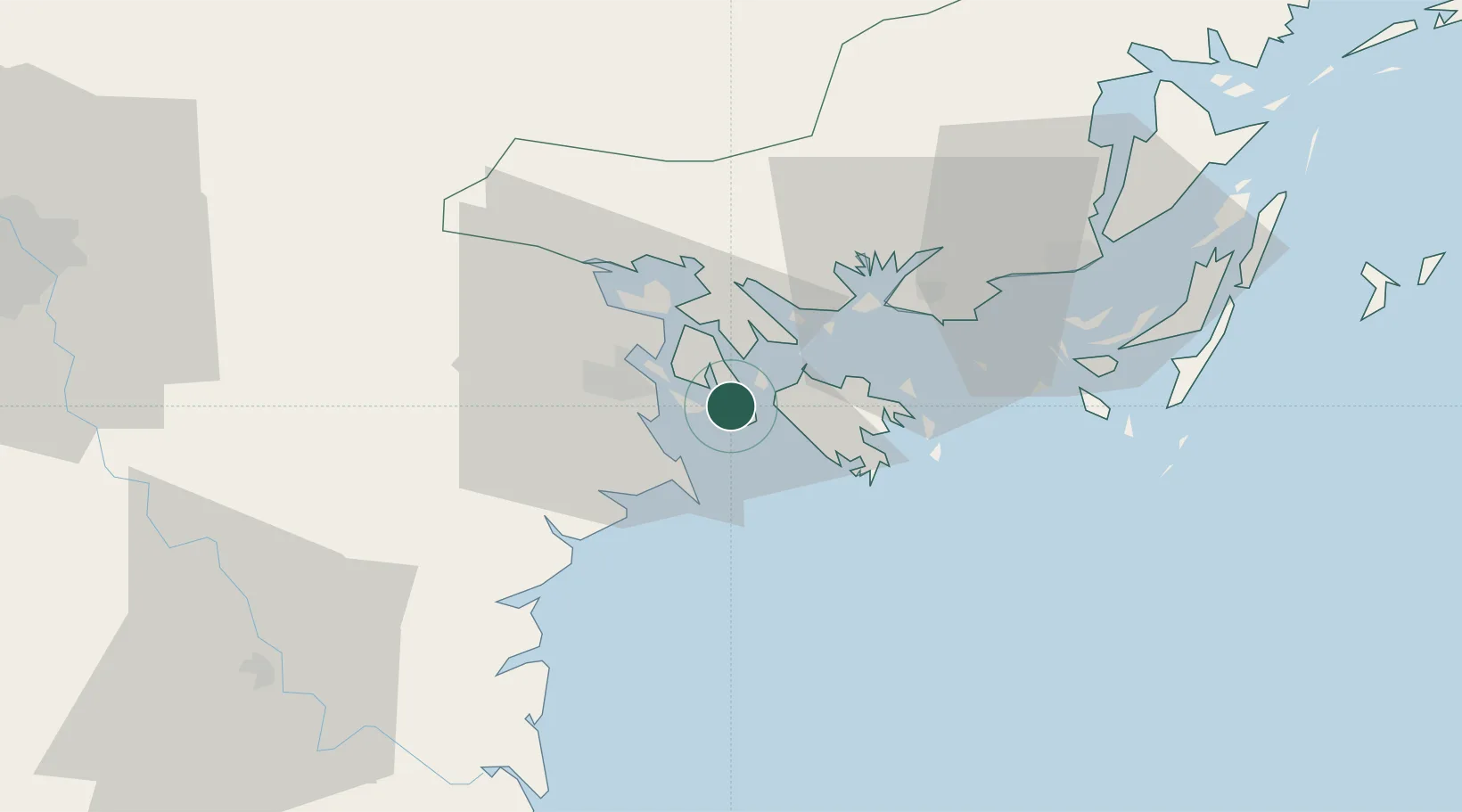
Nearby Logistics Neighbours

Cities
  1. 1Van Phong3 km
  2. 2Haiphong11 km
  3. 3Dinh Vu Terminal13 km
  4. 4Chua Ve Terminal17 km
  5. 5Cua Cam Terminal18 km
Nearest neighbours — logibook spatial index (haversine) over the source coordinates
Ports
  1. 1Hai Phong21 km
  2. 2Hon Gai27 km
  3. 3Cam Pha59 km
  4. 4Fang-Cheng187 km
  5. 5Qinzhou207 km
Nearest neighbours — logibook spatial index (haversine) over the source coordinates
Airports
  1. 1Cat Bi International Airport13 km
  2. 2Van Don International Airport68 km
  3. 3Gia Lam Air Base103 km
  4. 4Noi Bai International Airport117 km
  5. 5Baihe Ningming Air Base148 km
Nearest neighbours — logibook spatial index (haversine) over the source coordinates
Trade Zones
  1. 1Dinh Vu - Cat Hai Economic Zone8 km
  2. 2Dinh Vu Industrial Zone8 km
  3. 3Do Son Industrial Zone12 km
  4. 4Viet Hung Industrial Park26 km
  5. 5Cái Lân Industrial Park27 km
Nearest neighbours — logibook spatial index (haversine) over the source coordinates
DatabookThe Record of Consolidated Knowledge
Vietnam beyond logistics?
Browse databook

All Sources

LocationsUN/LOCODE
UN/LOCODE — free
Portsthe NGA World Port Index
Public domain (US gov)
AirportsOurAirports
Public domain
Trade Zonesthe World Bank SEZ database
CC BY 4.0
Trade ZonesOpen Zone Map
CC BY
← Vietnam locations