Diversified Zone · Vietnam

Hải Hà Seaport Industrial Park Under Development
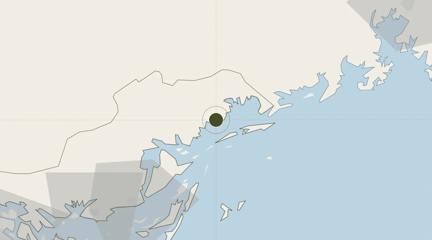
21.4182°, 107.7157°
660 ha
Zone area
56.0 km
Nearest port
45.4 km
Nearest airport

Gateway access

Nearest neighbours — logibook spatial index (haversine) over the source coordinates

Zone profile

Zone type
Diversified Zone
Open Zone Map
Region
Quảng Ninh
Open Zone Map
Status
Under Development
Open Zone Map
Management
Public-Private Partnership
Open Zone Map
Operator
Texhong Vietnam Industrial Park Company Limited
Open Zone Map
Legal framework
Decree No.82/2018/ND-CP on Management of Industrial Parks and Economic Zones, Decree No 218/2013/ND-CP
Open Zone Map

Location

Location of ozm-5046
Natural Earth 10m (public domain) · Quảng Ninh · ozm-5046 · 21.42, 107.72GoogleOSMYandex

Nearby Logistics Neighbours

Ports
  1. 1Cam Pha56 km
  2. 2Fang-Cheng75 km
  3. 3Hon Gai85 km
  4. 4Qinzhou96 km
  5. 5Hai Phong121 km
Nearest neighbours — logibook spatial index (haversine) over the source coordinates
Airports
  1. 1Van Don International Airport45 km
  2. 2Baihe Ningming Air Base99 km
  3. 3Cat Bi International Airport123 km
  4. 4Nanning Wuxu International Airport140 km
  5. 5Beihai Fucheng Airport164 km
Nearest neighbours — logibook spatial index (haversine) over the source coordinates
Cities
  1. 1Dongxing29 km
  2. 2Jiangshan Pt62 km
  3. 3Fangcheng Pt69 km
  4. 4Qisha Pt80 km
  5. 5Ha Long85 km
Nearest neighbours — logibook spatial index (haversine) over the source coordinates
Trade Zones
  1. 1Van Don Coastal Economic Zone50 km
  2. 2Fangcheng Industrial Park82 km
  3. 3Cái Lân Industrial Park85 km
  4. 4Viet Hung Industrial Park88 km
  5. 5Qinzhou Port Economic Development Zone99 km
Nearest neighbours — logibook spatial index (haversine) over the source coordinates
DatabookThe Record of Consolidated Knowledge
Vietnam beyond logistics?
Browse databook

All Sources

Trade ZonesOpen Zone Map
CC BY
Portsthe NGA World Port Index
Public domain (US gov)
AirportsOurAirports
Public domain
LocationsUN/LOCODE
UN/LOCODE — free
← Vietnam trade zones