UN/LOCODE hub · Vietnam
VNHPH
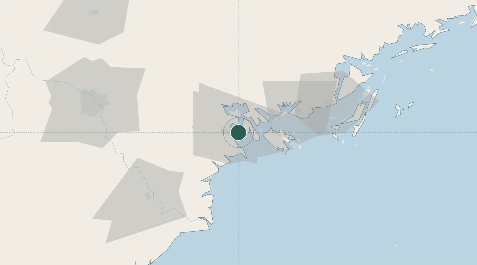
Haiphong
20.8428°, 106.7518°
2,625,200
Population
4
Transport functions
18
Container terminals
Transport Functions
Port
Rail
Road
Airport
Hub Profile
Place type
Regional capital
Region
Hai Phong
Population
2,625,200
Time zone
Asia/Bangkok
Elevation
12 m
Logistics facilities
94
Container terminals
18
Location
Nearby Logistics Neighbours
Cities
- 1Chua Ve Terminal6 km
- 2Dinh Vu Terminal7 km
- 3Cua Cam Terminal8 km
- 4Doan Xa Terminal8 km
- 5Transvina Terminal8 km
Ports
- 1Hon Gai35 km
- 2Cam Pha67 km
- 3Fang-Cheng194 km
- 4Qinzhou214 km
- 5Beihai250 km
Airports
Trade Zones
DatabookThe Record of Consolidated Knowledge
Vietnam beyond logistics?