UN/LOCODE hub · Vietnam
VNHLG
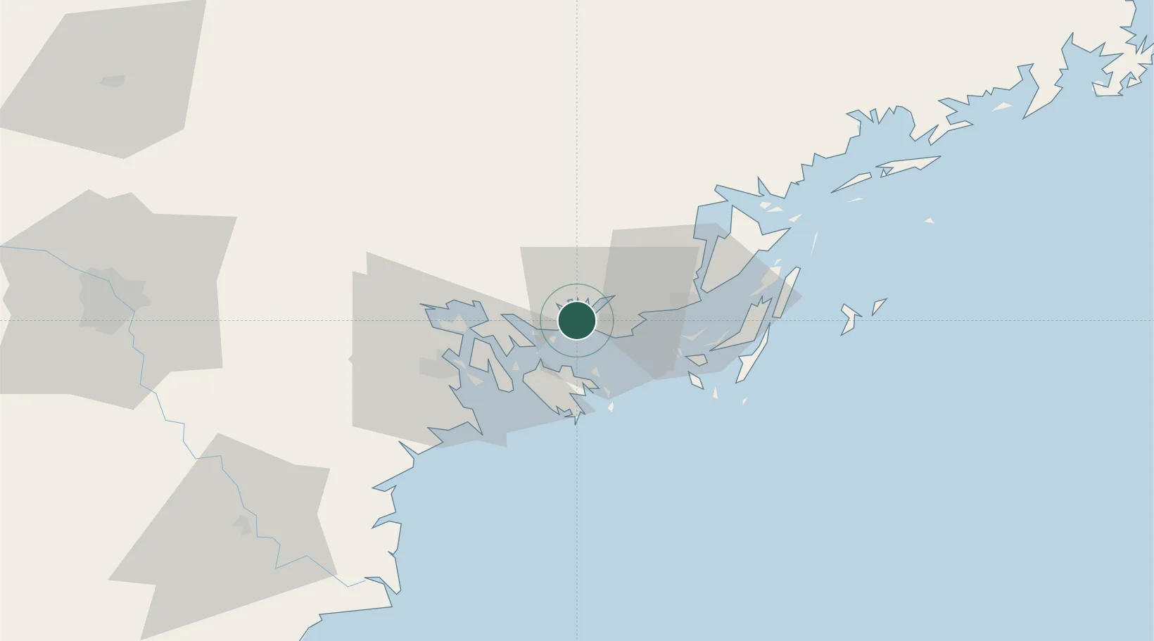
Ha Long
20.9764°, 107.0508°
270,054
Population
2
Transport functions
1
Container terminals
Transport Functions
Port
Road
Hub Profile
Place type
Regional capital
Region
Quảng Ninh
Population
270,054
Time zone
Asia/Bangkok
Elevation
8 m
Logistics facilities
1
Container terminals
1
Location
Nearby Logistics Neighbours
Cities
- 1Nam Hai Dinh Vu Port27 km
- 2Van Phong27 km
- 3Dinh Vu Terminal31 km
- 4Haiphong34 km
- 5Chua Ve Terminal38 km
Ports
- 1Hon Gai3 km
- 2Cam Pha33 km
- 3Hai Phong39 km
- 4Fang-Cheng160 km
- 5Qinzhou180 km
Airports
- 1Cat Bi International Airport38 km
- 2Van Don International Airport41 km
- 3Gia Lam Air Base121 km
- 4Baihe Ningming Air Base127 km
- 5Noi Bai International Airport132 km
Trade Zones
DatabookThe Record of Consolidated Knowledge
Vietnam beyond logistics?