Runway & Layout

Airport Specifications
Airport class
Medium airport
Scheduled service
No
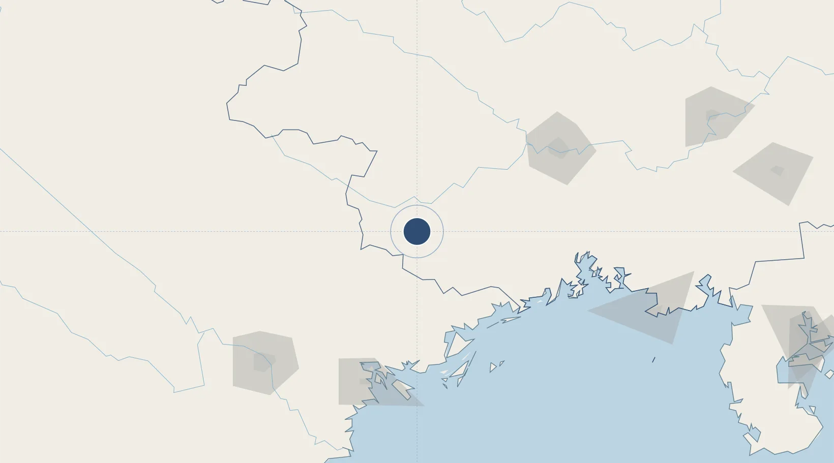
Served city
Ningming
Location
Nearby Logistics Neighbours
Airports
- 1Van Don International Airport115 km
- 2Nanning Wuxu International Airport121 km
- 3Cat Bi International Airport151 km
- 4Noi Bai International Airport169 km
- 5Gia Lam Air Base176 km
Cities
- 1Pingxiang Railway Station40 km
- 2Shuolong83 km
- 3Dongxing114 km
- 4Ha Long127 km
- 5Jiangshan Pt130 km
Ports
- 1Cam Pha123 km
- 2Hon Gai130 km
- 3Fang-Cheng133 km
- 4Hai Phong141 km
- 5Qinzhou157 km
DatabookThe Record of Consolidated Knowledge
China beyond logistics?