UN/LOCODE hub · Vietnam
VNVPH

Van Phong

20.8000°, 106.8667°
1
Transport functions

Transport Functions

Port
UN/LOCODE

Hub Profile

Place type
Populated place
GeoNames
Region
Hai Phong
GeoNames
Time zone
Asia/Bangkok
GeoNames
Elevation
4 m
GeoNames

Location

Location of VNVPH
Natural Earth 10m (public domain) · Hai Phong · VNVPH · 20.80, 106.87GoogleOSMYandex

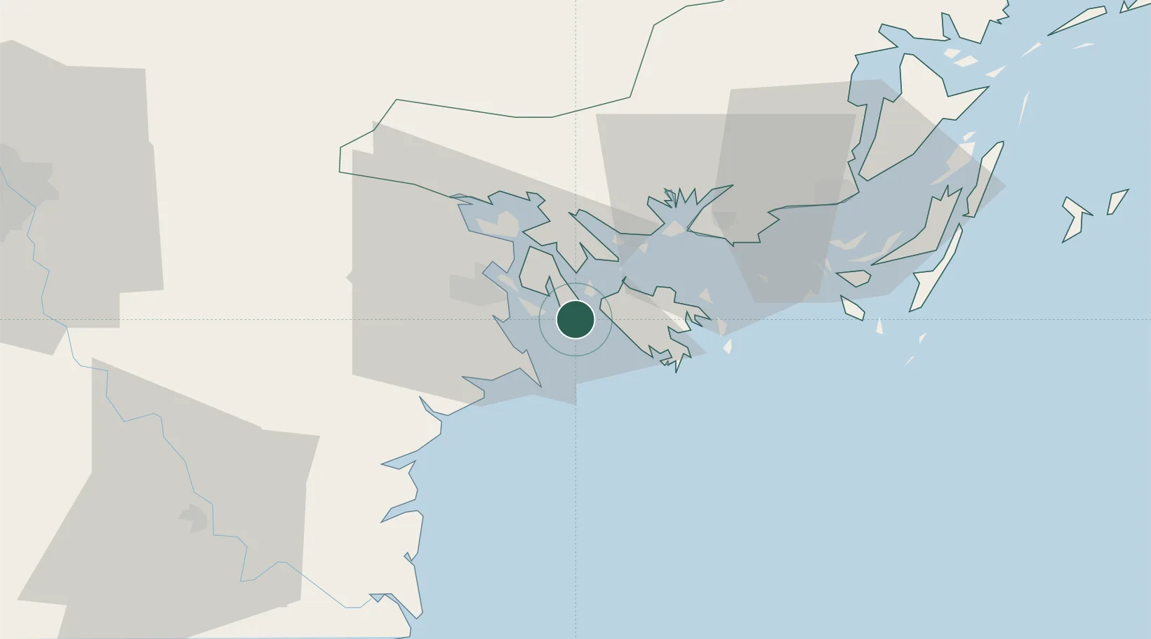
Nearby Logistics Neighbours

Cities
  1. 1Nam Hai Dinh Vu Port3 km
  2. 2Haiphong13 km
  3. 3Dinh Vu Terminal15 km
  4. 4Chua Ve Terminal19 km
  5. 5Cua Cam Terminal20 km
Nearest neighbours — logibook spatial index (haversine) over the source coordinates
Ports
  1. 1Hai Phong23 km
  2. 2Hon Gai27 km
  3. 3Cam Pha58 km
  4. 4Fang-Cheng187 km
  5. 5Qinzhou206 km
Nearest neighbours — logibook spatial index (haversine) over the source coordinates
Airports
  1. 1Cat Bi International Airport15 km
  2. 2Van Don International Airport67 km
  3. 3Gia Lam Air Base105 km
  4. 4Noi Bai International Airport120 km
  5. 5Baihe Ningming Air Base149 km
Nearest neighbours — logibook spatial index (haversine) over the source coordinates
Trade Zones
  1. 1Dinh Vu - Cat Hai Economic Zone10 km
  2. 2Dinh Vu Industrial Zone10 km
  3. 3Do Son Industrial Zone13 km
  4. 4Viet Hung Industrial Park27 km
  5. 5Cái Lân Industrial Park27 km
Nearest neighbours — logibook spatial index (haversine) over the source coordinates
DatabookThe Record of Consolidated Knowledge
Vietnam beyond logistics?
Browse databook

All Sources

LocationsUN/LOCODE
UN/LOCODE — free
Portsthe NGA World Port Index
Public domain (US gov)
AirportsOurAirports
Public domain
Trade Zonesthe World Bank SEZ database
CC BY 4.0
Trade ZonesOpen Zone Map
CC BY
← Vietnam locations