Economic Zone · Vietnam
Dinh Vu - Cat Hai Economic Zone
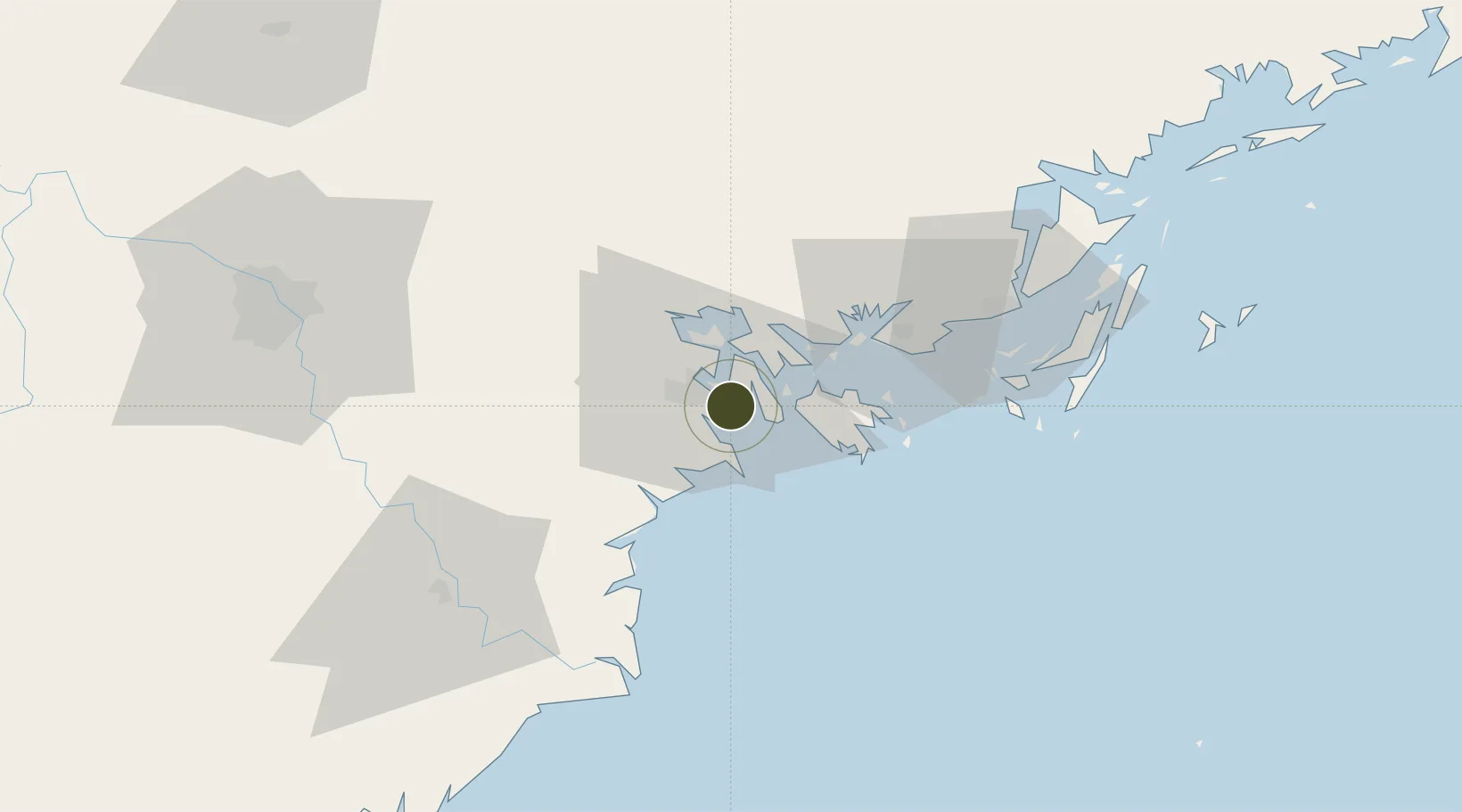
20.8250°, 106.7777°
14.1 km
Nearest port
5.6 km
Nearest airport
Gateway access
Zone profile
Zone type
Economic Zone
Region
Hải Phòng
Established
2009
Management
Public agency
Operator
Dinh Vu - Cat Hai Economic Zone Management Board
Regulatory authority
Prime Minister
Legal framework
Law on Foreign Investment in Vietnam, 1996; Decree No. 36/1997/CP on The Regulation of Industrial, Economic and Export processing zones
Location
Fiscal & incentives
Corporate tax
20%
Tax relief
100% exempt
Relief duration
4 years
VAT
No exemption
Import duty (inputs)
0% exempt
Import duty (capex)
100% exempt
Profit repatriation
No exemption
Capital gains
No exemption
Withholding tax
No exemption
Min. investment
None
Min. export
0%
Employment incentive
No exemption
Developer incentive
No established framework
Nearby Logistics Neighbours
Ports
- 1Hai Phong14 km
- 2Hon Gai33 km
- 3Cam Pha65 km
- 4Fang-Cheng193 km
- 5Qinzhou213 km
Airports
Cities
- 1Haiphong3 km
- 2Nam Hai Dinh Vu Port8 km
- 3Dinh Vu Terminal8 km
- 4Chua Ve Terminal9 km
- 5Van Phong10 km
Trade Zones
DatabookThe Record of Consolidated Knowledge
Vietnam beyond logistics?