UN/LOCODE hub · Vietnam
VNDVU

Dinh Vu Terminal

20.9000°, 106.7667°
2
Transport functions

Transport Functions

Port
Road
UN/LOCODE

Hub Profile

Region
HP
GeoNames

Location

Location of VNDVU
Natural Earth 10m (public domain) · HP · VNDVU · 20.90, 106.77GoogleOSMYandex

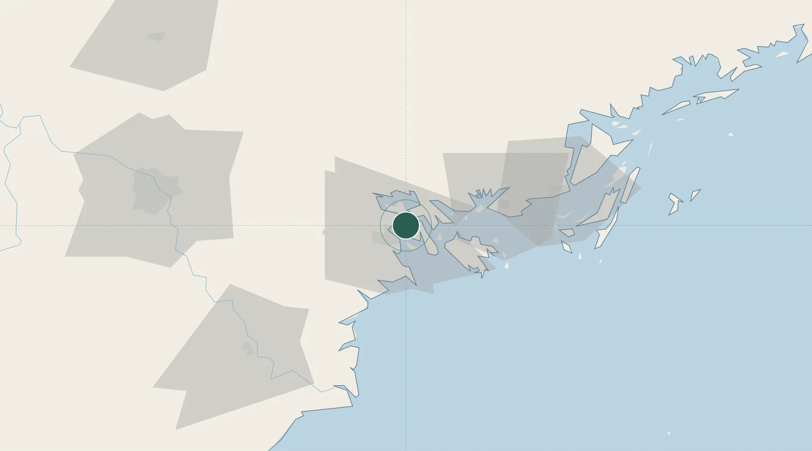
Nearby Logistics Neighbours

Cities
  1. 1Haiphong7 km
  2. 2Chua Ve Terminal8 km
  3. 3Cua Cam Terminal9 km
  4. 4Doan Xa Terminal9 km
  5. 5Transvina Terminal9 km
Nearest neighbours — logibook spatial index (haversine) over the source coordinates
Ports
  1. 1Hai Phong9 km
  2. 2Hon Gai32 km
  3. 3Cam Pha64 km
  4. 4Fang-Cheng189 km
  5. 5Qinzhou210 km
Nearest neighbours — logibook spatial index (haversine) over the source coordinates
Airports
  1. 1Cat Bi International Airport10 km
  2. 2Van Don International Airport72 km
  3. 3Gia Lam Air Base93 km
  4. 4Noi Bai International Airport106 km
  5. 5Baihe Ningming Air Base141 km
Nearest neighbours — logibook spatial index (haversine) over the source coordinates
Trade Zones
  1. 1Dinh Vu Industrial Zone8 km
  2. 2Dinh Vu - Cat Hai Economic Zone8 km
  3. 3Do Son Industrial Zone18 km
  4. 4Nomura Industrial Zone18 km
  5. 5Viet Hung Industrial Park26 km
Nearest neighbours — logibook spatial index (haversine) over the source coordinates
DatabookThe Record of Consolidated Knowledge
Vietnam beyond logistics?
Browse databook

All Sources

LocationsUN/LOCODE
UN/LOCODE — free
Portsthe NGA World Port Index
Public domain (US gov)
AirportsOurAirports
Public domain
Trade Zonesthe World Bank SEZ database
CC BY 4.0
Trade ZonesOpen Zone Map
CC BY
← Vietnam locations