Medium airport · Vietnam

Gia Lam Air BaseVVGL
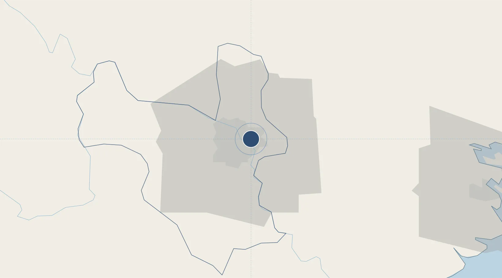
21.0405°, 105.8860°
6,571 ft
Longest runway
1
Runways
50 ft
Elevation

Runway & Layout

Gia Lam Air Base runway & taxiway layout
Runway & taxiway layout — OpenStreetMap (ODbL) / OurAirports

Runways · 1

RunwayDimensions SurfaceTrue headingLit
02/20 6,571 × 100ft Asphalt 024°
OurAirports

Airport Specifications

ICAO code
VVGL
OurAirports
Airport class
Medium airport
OurAirports
Scheduled service
No
OurAirports
Runway surface
Asphalt
OurAirports
Served city
Hanoi (Long Bien)
OurAirports

Location

Location of VVGL
Natural Earth 10m (public domain) · Ha Noi · VVGL · 21.04, 105.89GoogleOSMYandex

Nearby Logistics Neighbours

Airports
  1. 1Noi Bai International Airport22 km
  2. 2Cat Bi International Airport91 km
  3. 3Tho Xuan Airport134 km
  4. 4Van Don International Airport159 km
  5. 5Baihe Ningming Air Base176 km
Nearest neighbours — logibook spatial index (haversine) over the source coordinates
Cities
  1. 1Hanoi15 km
  2. 2Luong Tai27 km
  3. 3Hoa Mac47 km
  4. 4Hoa Lac49 km
  5. 5Phu Lý56 km
Nearest neighbours — logibook spatial index (haversine) over the source coordinates
Ports
  1. 1Hai Phong84 km
  2. 2Hon Gai123 km
  3. 3Cam Pha154 km
  4. 4Nghe Tinh253 km
  5. 5Fang-Cheng267 km
Nearest neighbours — logibook spatial index (haversine) over the source coordinates
Trade Zones
  1. 1Sai Dong B Industrial Park2 km
  2. 2Hanoi - Đại Từ Industrial Park4 km
  3. 3Đại Từ Industrial Zone4 km
  4. 4Nguyen Duc Canh Industrial Park7 km
  5. 5Ninh Hiep Industrial Estate8 km
Nearest neighbours — logibook spatial index (haversine) over the source coordinates
DatabookThe Record of Consolidated Knowledge
Vietnam beyond logistics?
Browse databook

All Sources

AirportsOurAirports
Public domain
Portsthe NGA World Port Index
Public domain (US gov)
LocationsUN/LOCODE
UN/LOCODE — free
Trade Zonesthe World Bank SEZ database
CC BY 4.0
Trade ZonesOpen Zone Map
CC BY
InfrastructureOpenStreetMap
ODbL 1.0
← Vietnam airports