Export Processing Zone · Vietnam

Cái Lân Industrial Park Active
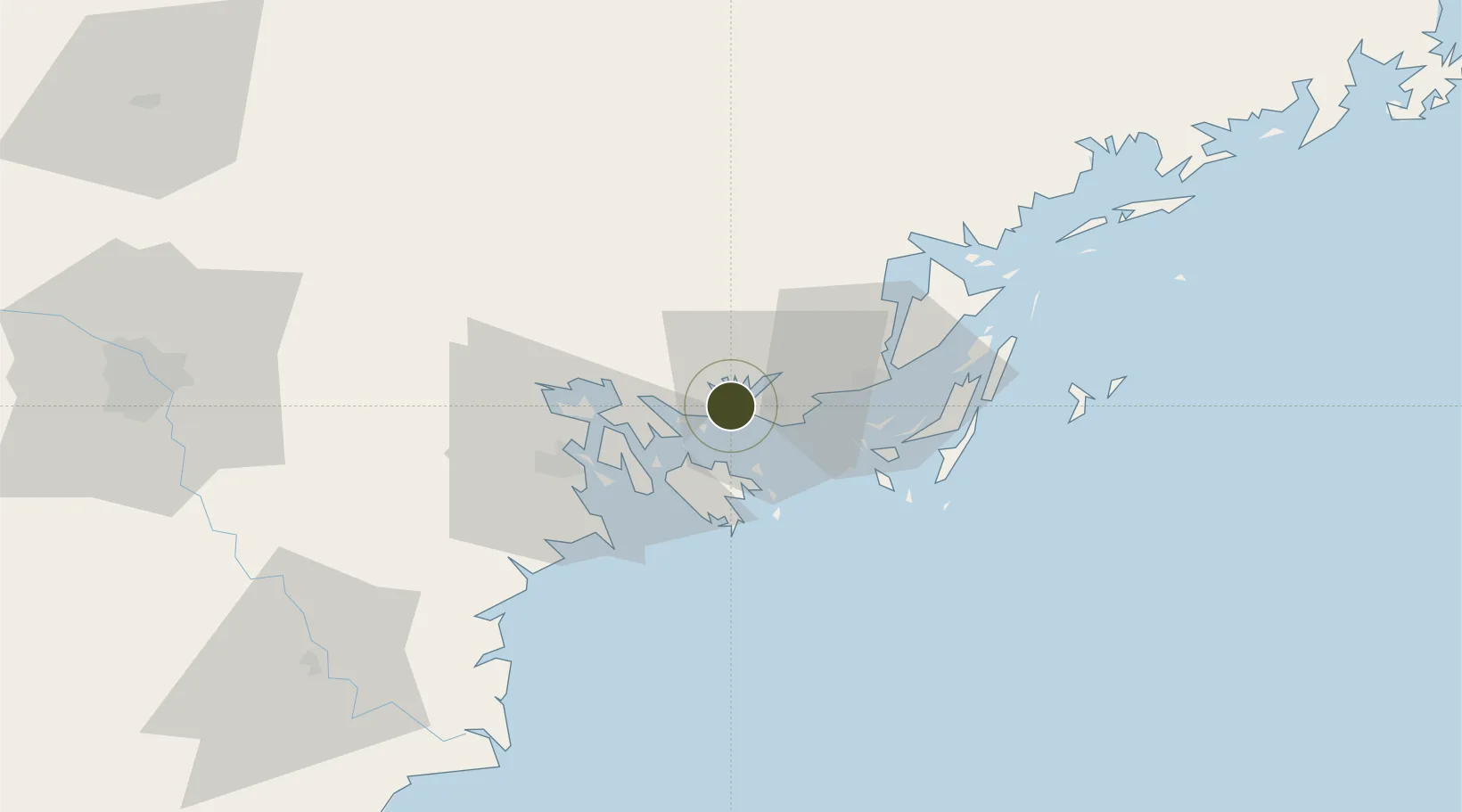
20.9724°, 107.0449°
62 ha
Zone area
3.4 km
Nearest port
37.5 km
Nearest airport

Gateway access

Nearest neighbours — logibook spatial index (haversine) over the source coordinates

Zone profile

Zone type
Export Processing Zone
Open Zone Map
Region
Quảng Ninh
Open Zone Map
Status
Active
Open Zone Map
Management
Public-Private Partnership
Open Zone Map
Operator
Quang Ninh Construction & Cement JSC
Open Zone Map
Legal framework
Decree No.82/2018/ND-CP on Management of Industrial Parks and Economic Zones, Decree No 218/2013/ND-CP
Open Zone Map

Location

Location of ozm-5104
Natural Earth 10m (public domain) · Quảng Ninh · ozm-5104 · 20.97, 107.04GoogleOSMYandex

Nearby Logistics Neighbours

Ports
  1. 1Hon Gai3 km
  2. 2Cam Pha34 km
  3. 3Hai Phong38 km
  4. 4Fang-Cheng160 km
  5. 5Qinzhou180 km
Nearest neighbours — logibook spatial index (haversine) over the source coordinates
Airports
  1. 1Cat Bi International Airport38 km
  2. 2Van Don International Airport42 km
  3. 3Gia Lam Air Base121 km
  4. 4Baihe Ningming Air Base128 km
  5. 5Noi Bai International Airport131 km
Nearest neighbours — logibook spatial index (haversine) over the source coordinates
Cities
  1. 1Ha Long1 km
  2. 2Nam Hai Dinh Vu Port27 km
  3. 3Van Phong27 km
  4. 4Dinh Vu Terminal30 km
  5. 5Haiphong34 km
Nearest neighbours — logibook spatial index (haversine) over the source coordinates
Trade Zones
  1. 1Viet Hung Industrial Park7 km
  2. 2Dinh Vu Industrial Zone32 km
  3. 3Dinh Vu - Cat Hai Economic Zone32 km
  4. 4Do Son Industrial Zone39 km
  5. 5Van Don Coastal Economic Zone41 km
Nearest neighbours — logibook spatial index (haversine) over the source coordinates
DatabookThe Record of Consolidated Knowledge
Vietnam beyond logistics?
Browse databook

All Sources

Trade ZonesOpen Zone Map
CC BY
Portsthe NGA World Port Index
Public domain (US gov)
AirportsOurAirports
Public domain
LocationsUN/LOCODE
UN/LOCODE — free
← Vietnam trade zones