Seaport · China

Fang-ChengCNFAN

21.7500°, 108.3500°
15.5 m
Channel depth
13.2
Port liner connectivity
Fang-Cheng is also a UN/LOCODE logistics hub →

Channel & Berth Profile

SEA LEVEL (CD)CHANNEL BEDOil terminal · 9.4 mAnchorage · 11.0 mCargo pier · 12.5 mChannel · 15.5 m
NGA World Port Index

Pilotage, Tugs & Services

Pilotage compulsoryYES
Pilotage availableYES
Tug assistanceYES
Potable waterYES
Diesel bunkersYES
MedicalYES
Garbage disposalYES
NGA World Port Index

Facilities & Capabilities

Container
Ro-Ro
Liquid bulk
Dry bulk
Oil terminal
Break bulk
Dry dockNO
RepairsNO
BunkeringYES
Rail linkYES
Dangerous cargo
ISPS security
NGA World Port Index

Harbour Specifications

Harbour size
Medium
NGA World Port Index
Harbour type
River (Natural)
NGA World Port Index
Shelter
Good
NGA World Port Index
Water body
Gulf of Tonkin; South China Sea; North Pacific Ocean
NGA World Port Index
Tidal range
5.3 m
NGA World Port Index
Overhead limit
Yes
NGA World Port Index
Pilotage
Yes
NGA World Port Index

Liner Connectivity

13.2
PLSCI

Port Liner Shipping Connectivity Index for Fang-Cheng, as published by UNCTAD for the latest available quarter. Higher values indicate stronger scheduled liner-shipping integration.

Shown relative to the highest per-port PLSCI in the dataset (1,657.9).
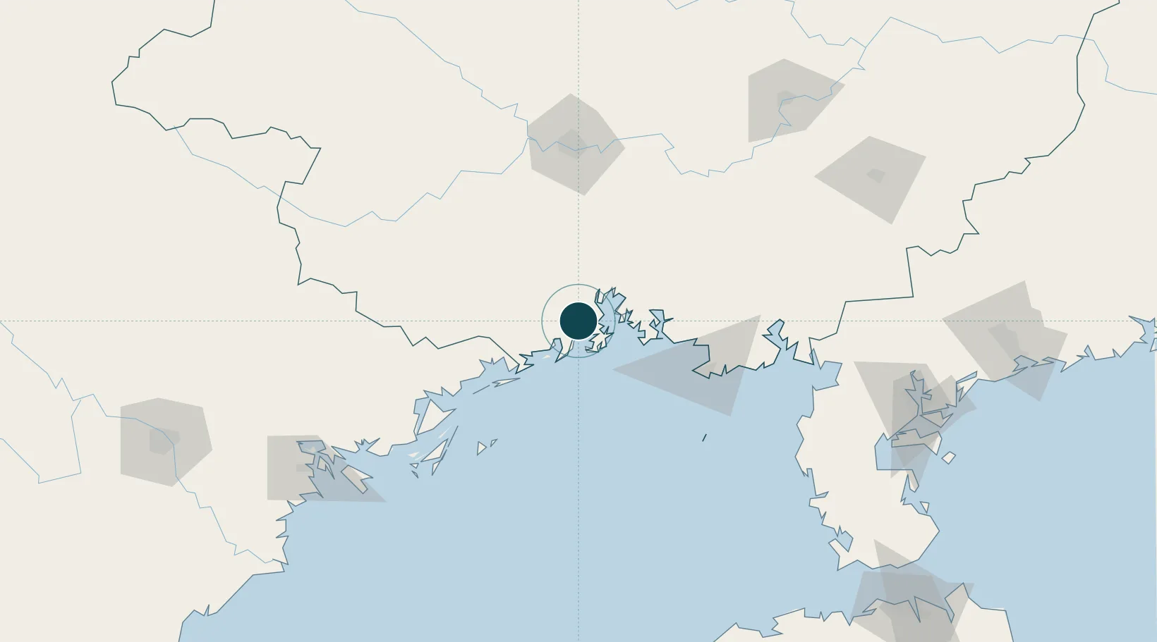
UNCTAD · Port Liner Shipping Connectivity Index

Location

Location of CNFAN
Natural Earth 10m (public domain) · Guangxi · CNFAN · 21.75, 108.35GoogleOSMYandex

Nearby Logistics Neighbours

Ports
  1. 1Qinzhou24 km
  2. 2Beihai80 km
  3. 3Cam Pha129 km
  4. 4Hon Gai160 km
  5. 5Hai Phong196 km
Nearest neighbours — logibook spatial index (haversine) over the source coordinates
Cities
  1. 1Jiangshan Pt16 km
  2. 2Qisha Pt22 km
  3. 3Dongxing48 km
  4. 4Beihai Pt85 km
  5. 5Beihai93 km
Nearest neighbours — logibook spatial index (haversine) over the source coordinates
Airports
  1. 1Nanning Wuxu International Airport96 km
  2. 2Beihai Fucheng Airport100 km
  3. 3Van Don International Airport119 km
  4. 4Baihe Ningming Air Base133 km
  5. 5Suixi Air Base195 km
Nearest neighbours — logibook spatial index (haversine) over the source coordinates
Trade Zones
  1. 1Fangcheng Industrial Park7 km
  2. 2Qinzhou Port Economic Development Zone27 km
  3. 3Qinbei District Economic and Technological Development Zone44 km
  4. 4Hải Hà Seaport Industrial Park75 km
  5. 5Beihai Export Processing Zone83 km
Nearest neighbours — logibook spatial index (haversine) over the source coordinates
DatabookThe Record of Consolidated Knowledge
China beyond logistics?
Browse databook

All Sources

Portsthe NGA World Port Index
Public domain (US gov)
Logistics performanceUNCTAD
CC BY 3.0 IGO
AirportsOurAirports
Public domain
LocationsUN/LOCODE
UN/LOCODE — free
Trade Zonesthe World Bank SEZ database
CC BY 4.0
Trade ZonesOpen Zone Map
CC BY
← China ports