Seaport · China
QinzhouCNQZH
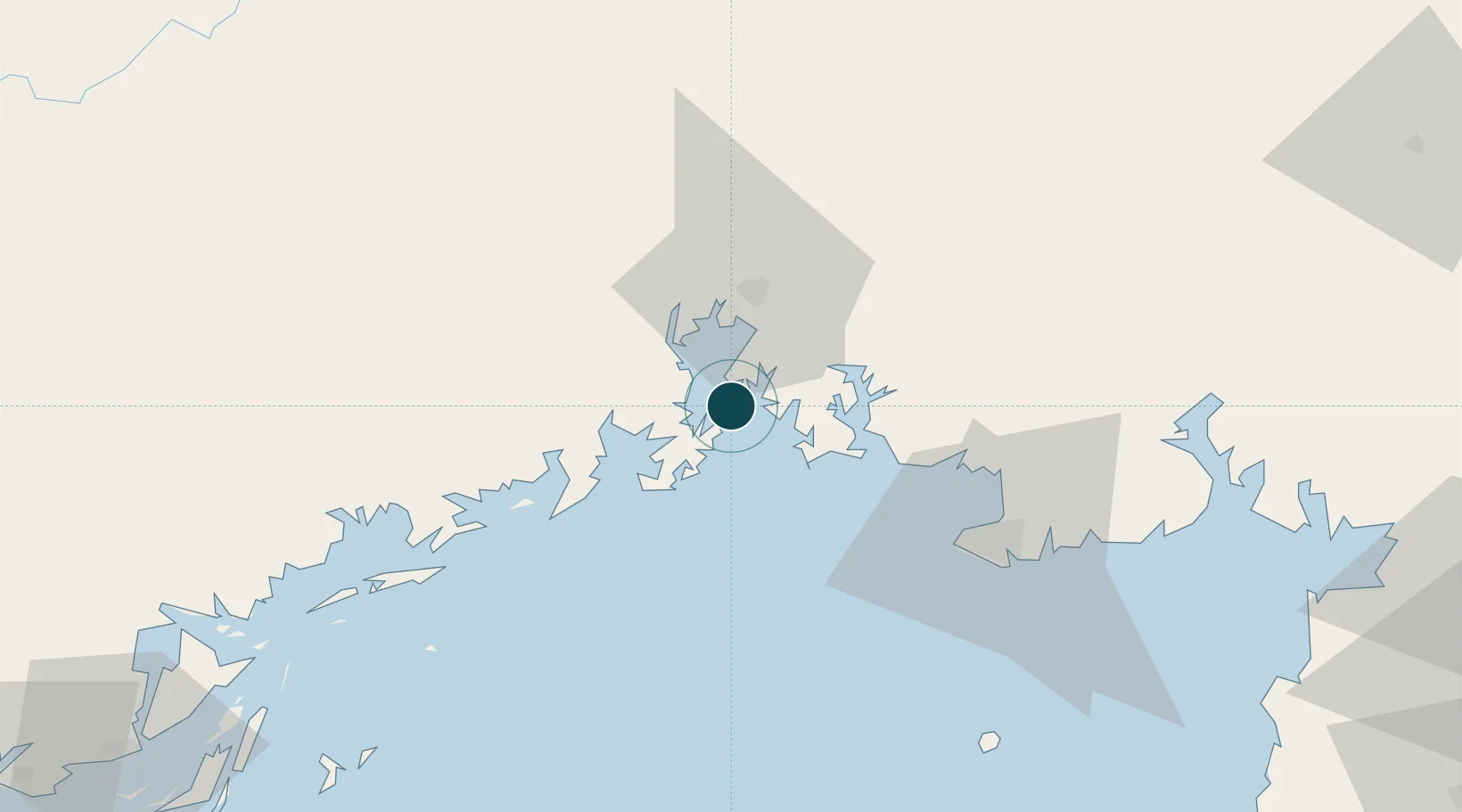
21.7333°, 108.5833°
12.5 m
Channel depth
1
Container terminals
185.2
Port liner connectivity
Channel & Berth Profile
Pilotage, Tugs & Services
Tug assistanceYES
Potable waterYES
Diesel bunkersYES
Facilities & Capabilities
Container—
Ro-Ro—
Liquid bulk—
Dry bulk—
Oil terminal—
Break bulk—
Dry dockNO
Repairs—
Bunkering—
Rail linkYES
Dangerous cargo—
ISPS security—
Harbour Specifications
Harbour size
Very Small
Harbour type
Coastal (Natural)
Shelter
Fair
Water body
Gulf of Tonkin; South China Sea; North Pacific Ocean
Tidal range
5 m
Overhead limit
No
Liner Connectivity
185.2
PLSCI
Port Liner Shipping Connectivity Index for Qinzhou, as published by UNCTAD for the latest available quarter. Higher values indicate stronger scheduled liner-shipping integration.
Shown relative to the highest per-port PLSCI in the dataset (1,657.9).
Location
Container Terminals · 1
BEIBU GULF INTERNATIONAL CONTAINER TERMINAL
BICT GUANGXI BEIBU-GULF INTERNATIONAL CONTAINER TERMINAL CO., LTD.
Nearby Logistics Neighbours
Ports
- 1Fang-Cheng24 km
- 2Beihai57 km
- 3Cam Pha148 km
- 4Hon Gai180 km
- 5Zhanjiang197 km
Cities
- 1Qisha Pt21 km
- 2Fangcheng Pt28 km
- 3Jiangshan Pt35 km
- 4Beihai Pt63 km
- 5Dongxing68 km
Airports
- 1Beihai Fucheng Airport77 km
- 2Nanning Wuxu International Airport105 km
- 3Van Don International Airport139 km
- 4Baihe Ningming Air Base157 km
- 5Suixi Air Base171 km
DatabookThe Record of Consolidated Knowledge
China beyond logistics?