Transport Functions
Multimodal
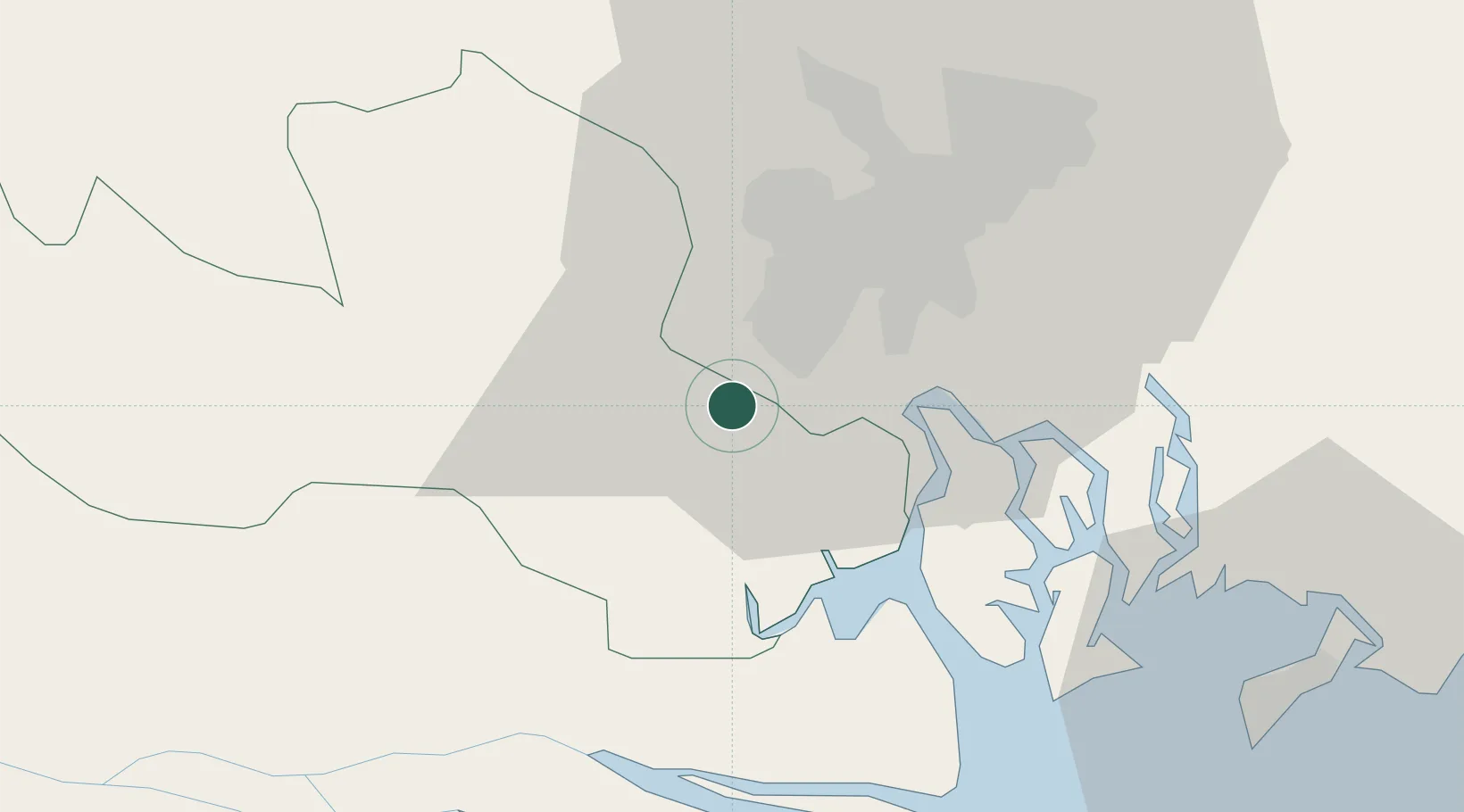
Hub Profile
Place type
Populated place
Region
Ho Chi Minh City (HCMC)
Time zone
Asia/Ho_Chi_Minh
Elevation
13 m
Location
Nearby Logistics Neighbours
Cities
- 1Phú Nhuan17 km
- 2Tan Binh17 km
- 3Tân Thuan Dông18 km
- 4Nha Be Oil Port19 km
- 5Tan Cang Hiep Phuoc Port19 km
Ports
- 1Thanh Ho Chi Minh20 km
- 2Cat Lai25 km
- 3Thanh Hoa28 km
- 4Phu My52 km
- 5Vung Tau67 km
Airports
Trade Zones
DatabookThe Record of Consolidated Knowledge
Vietnam beyond logistics?