Diversified Zone · Vietnam

Tan Duc Industrial Zone Active
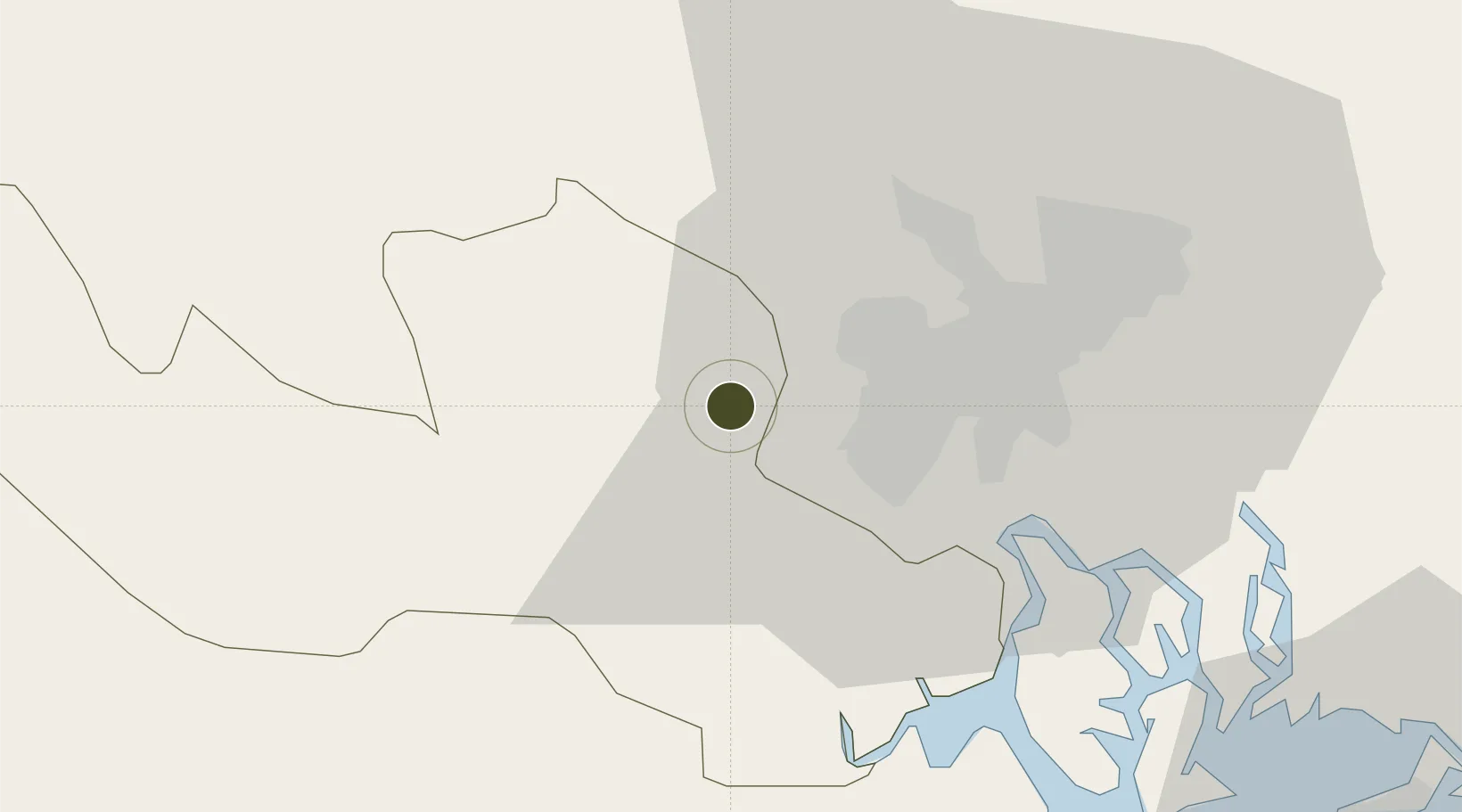
10.7948°, 106.4702°
150 ha
Zone area
27.1 km
Nearest port
20.0 km
Nearest airport

Gateway access

Nearest neighbours — logibook spatial index (haversine) over the source coordinates

Zone profile

Zone type
Diversified Zone
Open Zone Map
Region
Long An
Open Zone Map
Status
Active
Open Zone Map
Management
Public-Private Partnership
Open Zone Map
Operator
Tan Duc Investment JSC
Open Zone Map
Legal framework
Decree No.82/2018/ND-CP on Management of Industrial Parks and Economic Zones, Decree No 218/2013/ND-CP
Open Zone Map

Location

Location of ozm-5099
Natural Earth 10m (public domain) · Long An · ozm-5099 · 10.79, 106.47GoogleOSMYandex

Nearby Logistics Neighbours

Ports
  1. 1Thanh Ho Chi Minh27 km
  2. 2Thanh Hoa33 km
  3. 3Cat Lai35 km
  4. 4Phu My66 km
  5. 5Vung Tau84 km
Nearest neighbours — logibook spatial index (haversine) over the source coordinates
Airports
  1. 1Tan Son Nhat International Airport20 km
  2. 2Long Thanh International Airport (Under Construction)62 km
  3. 3Can Tho International Airport115 km
  4. 4Rach Gia Airport173 km
  5. 5Techo International Airport180 km
Nearest neighbours — logibook spatial index (haversine) over the source coordinates
Cities
  1. 1Bình Chánh18 km
  2. 2Tan Binh20 km
  3. 3Phú Nhuan22 km
  4. 4Song Than ICD27 km
  5. 5Thu Dau Mot27 km
Nearest neighbours — logibook spatial index (haversine) over the source coordinates
Trade Zones
  1. 1Le Minh Xuan Industrial Park10 km
  2. 2Tan Tao Industrial Park14 km
  3. 3Tan Binh Industrial Park17 km
  4. 4Tan Phu Trung Industrial Park17 km
  5. 5Thuan Dao Industrial Park20 km
Nearest neighbours — logibook spatial index (haversine) over the source coordinates
DatabookThe Record of Consolidated Knowledge
Vietnam beyond logistics?
Browse databook

All Sources

Trade ZonesOpen Zone Map
CC BY
Portsthe NGA World Port Index
Public domain (US gov)
AirportsOurAirports
Public domain
LocationsUN/LOCODE
UN/LOCODE — free
← Vietnam trade zones