Export Processing Zone · Vietnam

Cát Trinh Industrial Zone Under Development
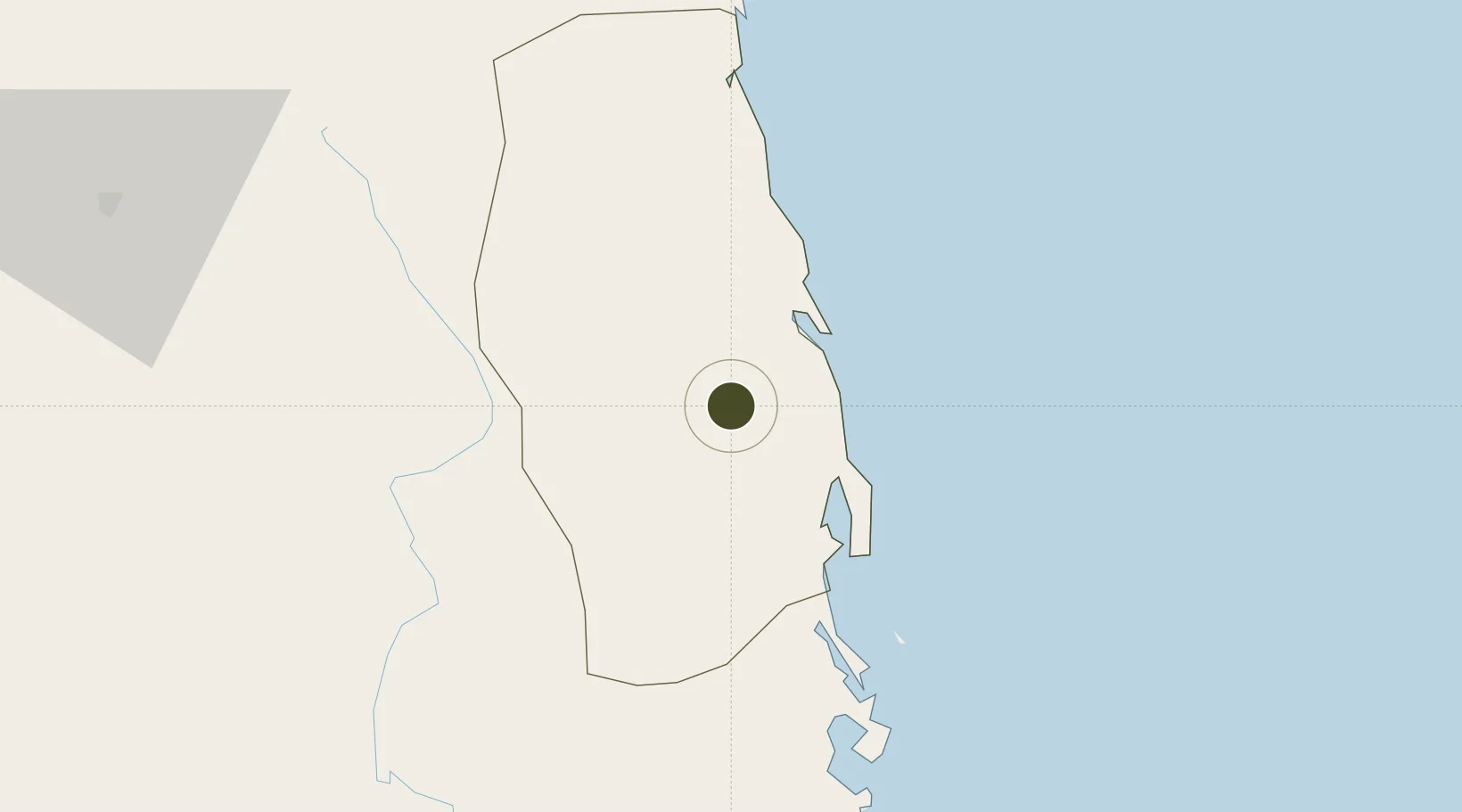
14.0110°, 109.0692°
368 ha
Zone area
32.4 km
Nearest port
6.9 km
Nearest airport

Gateway access

Nearest neighbours — logibook spatial index (haversine) over the source coordinates

Zone profile

Zone type
Export Processing Zone
Open Zone Map
Region
Bình Định
Open Zone Map
Status
Under Development
Open Zone Map
Management
Public
Open Zone Map
Operator
Binh Dinh Economic Zone Administration
Open Zone Map
Legal framework
Document No. 1975/TTg-KTN, Decree No.82/2018/ND-CP
Open Zone Map

Location

Location of ozm-5134
Natural Earth 10m (public domain) · Bình Định · ozm-5134 · 14.01, 109.07GoogleOSMYandex

Nearby Logistics Neighbours

Ports
  1. 1Qui Nhon32 km
  2. 2Nha Trang197 km
  3. 3Vinh Cam Ranh237 km
  4. 4Da Nang250 km
  5. 5Thanh Hoa434 km
Nearest neighbours — logibook spatial index (haversine) over the source coordinates
Airports
  1. 1Phu Cat Airport7 km
  2. 2Dong Tac Airport111 km
  3. 3Pleiku Airport114 km
  4. 4Chu Lai Airport160 km
  5. 5Buon Ma Thuot Airport181 km
Nearest neighbours — logibook spatial index (haversine) over the source coordinates
Cities
  1. 1Qui Nhon31 km
  2. 2Tan Cang - Mien Trung Terminal32 km
  3. 3Thi Nai Port33 km
  4. 4Bong Son47 km
  5. 5Tan Cang Qui Nhon87 km
Nearest neighbours — logibook spatial index (haversine) over the source coordinates
Trade Zones
  1. 1Hòa Hội Industrial Zone5 km
  2. 2Bình Nghi Industrial Zone18 km
  3. 3Nhon Hoa Industrial Zone18 km
  4. 4Nhon Hoi Economic Zone27 km
  5. 5Nhon Hoi Economic Zone Industrial Zone29 km
Nearest neighbours — logibook spatial index (haversine) over the source coordinates
DatabookThe Record of Consolidated Knowledge
Vietnam beyond logistics?
Browse databook

All Sources

Trade ZonesOpen Zone Map
CC BY
Portsthe NGA World Port Index
Public domain (US gov)
AirportsOurAirports
Public domain
LocationsUN/LOCODE
UN/LOCODE — free
← Vietnam trade zones