Diversified Zone · Vietnam

Hòa Hội Industrial Zone Under Development
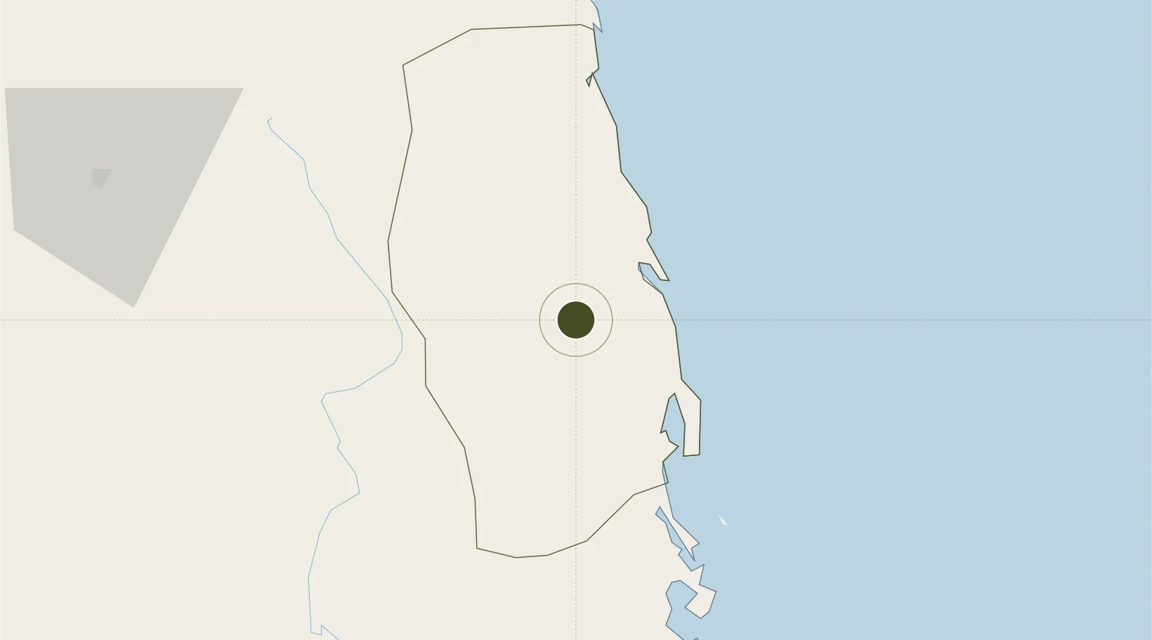
14.0485°, 109.0390°
340 ha
Zone area
37.7 km
Nearest port
10.4 km
Nearest airport

Gateway access

Nearest neighbours — logibook spatial index (haversine) over the source coordinates

Zone profile

Zone type
Diversified Zone
Open Zone Map
Region
Bình Định
Open Zone Map
Status
Under Development
Open Zone Map
Management
Public
Open Zone Map
Operator
Binh Dinh Economic Zone Administration
Open Zone Map
Legal framework
Decision No. 1107/QD-TTg dated Aug 21, 2006, Decree No.82/2018/ND-CP
Open Zone Map

Location

Location of ozm-5052
Natural Earth 10m (public domain) · Bình Định · ozm-5052 · 14.05, 109.04GoogleOSMYandex

Nearby Logistics Neighbours

Ports
  1. 1Qui Nhon38 km
  2. 2Nha Trang201 km
  3. 3Vinh Cam Ranh241 km
  4. 4Da Nang245 km
  5. 5Thanh Hoa436 km
Nearest neighbours — logibook spatial index (haversine) over the source coordinates
Airports
  1. 1Phu Cat Airport10 km
  2. 2Pleiku Airport110 km
  3. 3Dong Tac Airport116 km
  4. 4Chu Lai Airport155 km
  5. 5Buon Ma Thuot Airport183 km
Nearest neighbours — logibook spatial index (haversine) over the source coordinates
Cities
  1. 1Qui Nhon36 km
  2. 2Tan Cang - Mien Trung Terminal38 km
  3. 3Thi Nai Port39 km
  4. 4Bong Son43 km
  5. 5Tan Cang Qui Nhon91 km
Nearest neighbours — logibook spatial index (haversine) over the source coordinates
Trade Zones
  1. 1Cát Trinh Industrial Zone5 km
  2. 2Bình Nghi Industrial Zone20 km
  3. 3Nhon Hoa Industrial Zone23 km
  4. 4Nhon Hoi Economic Zone32 km
  5. 5Nhon Hoi Economic Zone Industrial Zone35 km
Nearest neighbours — logibook spatial index (haversine) over the source coordinates
DatabookThe Record of Consolidated Knowledge
Vietnam beyond logistics?
Browse databook

All Sources

Trade ZonesOpen Zone Map
CC BY
Portsthe NGA World Port Index
Public domain (US gov)
AirportsOurAirports
Public domain
LocationsUN/LOCODE
UN/LOCODE — free
← Vietnam trade zones