Diversified Zone · Vietnam

Que Vo 3 Industrial Zone Active
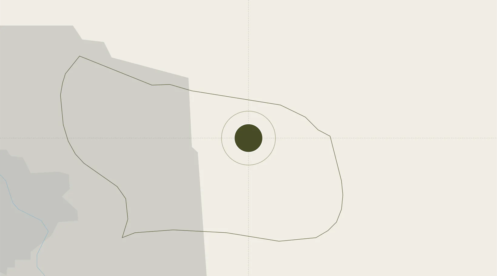
21.1314°, 106.1830°
524 ha
Zone area
57.2 km
Nearest port
32.4 km
Nearest airport

Gateway access

Nearest neighbours — logibook spatial index (haversine) over the source coordinates

Zone profile

Zone type
Diversified Zone
Open Zone Map
Region
Bắc Ninh
Open Zone Map
Status
Active
Open Zone Map
Management
Public
Open Zone Map
Operator
KinhBac City Urban Development Corporation, Bac Ninh Industrial Zones Authority
Open Zone Map
Legal framework
Decree No.82/2018/ND-CP on Management of Industrial Parks and Economic Zones, Decree No 218/2013/ND-CP
Open Zone Map

Location

Location of ozm-5091
Natural Earth 10m (public domain) · Bắc Ninh · ozm-5091 · 21.13, 106.18GoogleOSMYandex

Nearby Logistics Neighbours

Ports
  1. 1Hai Phong57 km
  2. 2Hon Gai94 km
  3. 3Cam Pha123 km
  4. 4Fang-Cheng235 km
  5. 5Qinzhou257 km
Nearest neighbours — logibook spatial index (haversine) over the source coordinates
Airports
  1. 1Gia Lam Air Base32 km
  2. 2Noi Bai International Airport40 km
  3. 3Cat Bi International Airport66 km
  4. 4Van Don International Airport128 km
  5. 5Baihe Ningming Air Base147 km
Nearest neighbours — logibook spatial index (haversine) over the source coordinates
Cities
  1. 1Luong Tai19 km
  2. 2Hanoi20 km
  3. 3Gia Lam32 km
  4. 4Vat Cach51 km
  5. 5Thái Nguyên57 km
Nearest neighbours — logibook spatial index (haversine) over the source coordinates
Trade Zones
  1. 1Que Vo Ii Industrial Zone4 km
  2. 2Que Vo 1 Expansion Industrial Zone6 km
  3. 3Nam Son-Hap Linh Industrial Estate6 km
  4. 4Que Vo I Industrial Zone8 km
  5. 5Gia Bình 1 Industrial Park9 km
Nearest neighbours — logibook spatial index (haversine) over the source coordinates
DatabookThe Record of Consolidated Knowledge
Vietnam beyond logistics?
Browse databook

All Sources

Trade ZonesOpen Zone Map
CC BY
Portsthe NGA World Port Index
Public domain (US gov)
AirportsOurAirports
Public domain
LocationsUN/LOCODE
UN/LOCODE — free
← Vietnam trade zones