Transport Functions
Multimodal
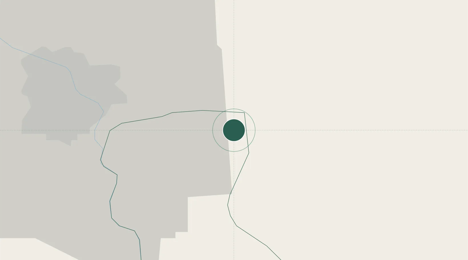
Hub Profile
Place type
Populated place
Region
Hưng Yên Province
Time zone
Asia/Bangkok
Elevation
5 m
Location
Nearby Logistics Neighbours
Ports
- 1Hai Phong57 km
- 2Hon Gai97 km
- 3Cam Pha128 km
- 4Fang-Cheng246 km
- 5Nghe Tinh248 km
Airports
- 1Gia Lam Air Base27 km
- 2Noi Bai International Airport44 km
- 3Cat Bi International Airport64 km
- 4Van Don International Airport134 km
- 5Tho Xuan Airport137 km
DatabookThe Record of Consolidated Knowledge
Vietnam beyond logistics?