Export Processing Zone · Vietnam

Nam Son-Hap Linh Industrial Estate Active
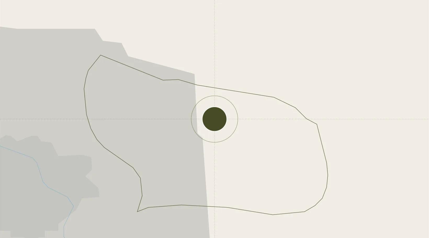
21.1424°, 106.1310°
402 ha
Zone area
62.6 km
Nearest port
27.8 km
Nearest airport

Gateway access

Nearest neighbours — logibook spatial index (haversine) over the source coordinates

Zone profile

Zone type
Export Processing Zone
Open Zone Map
Region
Bắc Ninh
Open Zone Map
Status
Active
Open Zone Map
Management
Public-Private Partnership
Open Zone Map
Operator
KinhBac City Urban Development Corporation, Bac Ninh Industrial Zones Authority
Open Zone Map
Legal framework
Decree No.82/2018/ND-CP on Management of Industrial Parks and Economic Zones, Decree No 218/2013/ND-CP
Open Zone Map

Location

Location of ozm-5153
Natural Earth 10m (public domain) · Bắc Ninh · ozm-5153 · 21.14, 106.13GoogleOSMYandex

Nearby Logistics Neighbours

Ports
  1. 1Hai Phong63 km
  2. 2Hon Gai99 km
  3. 3Cam Pha129 km
  4. 4Fang-Cheng239 km
  5. 5Qinzhou262 km
Nearest neighbours — logibook spatial index (haversine) over the source coordinates
Airports
  1. 1Gia Lam Air Base28 km
  2. 2Noi Bai International Airport35 km
  3. 3Cat Bi International Airport71 km
  4. 4Van Don International Airport133 km
  5. 5Baihe Ningming Air Base150 km
Nearest neighbours — logibook spatial index (haversine) over the source coordinates
Cities
  1. 1Hanoi15 km
  2. 2Luong Tai20 km
  3. 3Gia Lam38 km
  4. 4Thái Nguyên53 km
  5. 5Vat Cach57 km
Nearest neighbours — logibook spatial index (haversine) over the source coordinates
Trade Zones
  1. 1Que Vo 1 Expansion Industrial Zone0 km
  2. 2Que Vo I Industrial Zone2 km
  3. 3Que Vo 3 Industrial Zone6 km
  4. 4Quang Chau Industrial Zone9 km
  5. 5Thuan Thanh Industrial Estate9 km
Nearest neighbours — logibook spatial index (haversine) over the source coordinates
DatabookThe Record of Consolidated Knowledge
Vietnam beyond logistics?
Browse databook

All Sources

Trade ZonesOpen Zone Map
CC BY
Portsthe NGA World Port Index
Public domain (US gov)
AirportsOurAirports
Public domain
LocationsUN/LOCODE
UN/LOCODE — free
← Vietnam trade zones