Industrial Zone · Vietnam

Que Vo Ii Industrial Zone Active
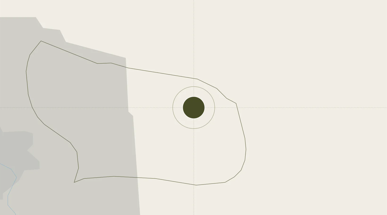
21.1263°, 106.2214°
596 ha
Zone area
53.3 km
Nearest port
36.1 km
Nearest airport

Gateway access

Nearest neighbours — logibook spatial index (haversine) over the source coordinates

Zone profile

Zone type
Industrial Zone
the World Bank SEZ database
Region
Bắc Ninh
the World Bank SEZ database
Status
Active
the World Bank SEZ database
Established
2007
the World Bank SEZ database
Management
State-owned enterprise
the World Bank SEZ database
Operator
Urban and Industrial Zone Development Investment Corporation (IDICO)
the World Bank SEZ database
Regulatory authority
Chairmen of Provincial People's Committees
the World Bank SEZ database
Legal framework
Law on Foreign Investment in Vietnam, 1996; Decree No. 36/1997/CP on The Regulation of Industrial, Economic and Export processing zones
the World Bank SEZ database

Location

Location of VNM67
Natural Earth 10m (public domain) · Bắc Ninh · VNM67 · 21.13, 106.22GoogleOSMYandex

Fiscal & incentives

Corporate tax
20%
the World Bank SEZ database
Tax relief
100% exempt
the World Bank SEZ database
Relief duration
4 years
the World Bank SEZ database
VAT
No exemption
the World Bank SEZ database
Import duty (inputs)
0% exempt
the World Bank SEZ database
Import duty (capex)
100% exempt
the World Bank SEZ database
Profit repatriation
No exemption
the World Bank SEZ database
Capital gains
No exemption
the World Bank SEZ database
Withholding tax
No exemption
the World Bank SEZ database
Min. investment
None
the World Bank SEZ database
Min. export
0%
the World Bank SEZ database
Employment incentive
No exemption
the World Bank SEZ database
Developer incentive
No established framework
the World Bank SEZ database

Nearby Logistics Neighbours

Ports
  1. 1Hai Phong53 km
  2. 2Hon Gai90 km
  3. 3Cam Pha119 km
  4. 4Fang-Cheng231 km
  5. 5Qinzhou254 km
Nearest neighbours — logibook spatial index (haversine) over the source coordinates
Airports
  1. 1Gia Lam Air Base36 km
  2. 2Noi Bai International Airport44 km
  3. 3Cat Bi International Airport63 km
  4. 4Van Don International Airport124 km
  5. 5Baihe Ningming Air Base145 km
Nearest neighbours — logibook spatial index (haversine) over the source coordinates
Cities
  1. 1Luong Tai20 km
  2. 2Hanoi24 km
  3. 3Gia Lam28 km
  4. 4Vat Cach48 km
  5. 5Cua Cam Terminal56 km
Nearest neighbours — logibook spatial index (haversine) over the source coordinates
Trade Zones
  1. 1Que Vo 3 Industrial Zone4 km
  2. 2Que Vo 1 Expansion Industrial Zone10 km
  3. 3Nam Son-Hap Linh Industrial Estate10 km
  4. 4Gia Bình 1 Industrial Park10 km
  5. 5Que Vo I Industrial Zone12 km
Nearest neighbours — logibook spatial index (haversine) over the source coordinates
DatabookThe Record of Consolidated Knowledge
Vietnam beyond logistics?
Browse databook

All Sources

Trade Zonesthe World Bank SEZ database
CC BY 4.0
Portsthe NGA World Port Index
Public domain (US gov)
AirportsOurAirports
Public domain
LocationsUN/LOCODE
UN/LOCODE — free
← Vietnam trade zones