Transport Functions
Port
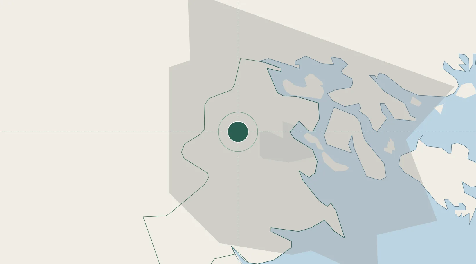
Location
Nearby Logistics Neighbours
Cities
- 1Cua Cam Terminal9 km
- 2Doan Xa Terminal9 km
- 3Transvina Terminal9 km
- 4Chua Ve Terminal11 km
- 5Haiphong16 km
Ports
- 1Hai Phong9 km
- 2Hon Gai49 km
- 3Cam Pha81 km
- 4Fang-Cheng205 km
- 5Qinzhou226 km
Airports
Trade Zones
DatabookThe Record of Consolidated Knowledge
Vietnam beyond logistics?