Transport Functions
Port
Airport
Postal
Hub Profile
Place type
National capital
Region
Hanoi
Population
8,053,663
Time zone
Asia/Bangkok
Elevation
10 m
Logistics facilities
3
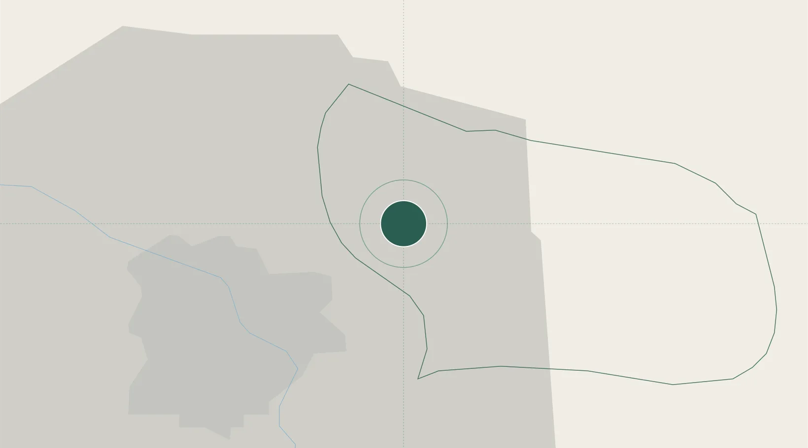
Location
Nearby Logistics Neighbours
Cities
- 1Luong Tai23 km
- 2Thái Nguyên49 km
- 3Gia Lam51 km
- 4Hoa Mac55 km
- 5Hoa Lac56 km
Ports
- 1Hai Phong75 km
- 2Hon Gai113 km
- 3Cam Pha143 km
- 4Fang-Cheng254 km
- 5Nghe Tinh263 km
Airports
- 1Gia Lam Air Base15 km
- 2Noi Bai International Airport22 km
- 3Cat Bi International Airport83 km
- 4Tho Xuan Airport147 km
- 5Van Don International Airport148 km
Trade Zones
DatabookThe Record of Consolidated Knowledge
Vietnam beyond logistics?