Transport Functions
Rail
Road
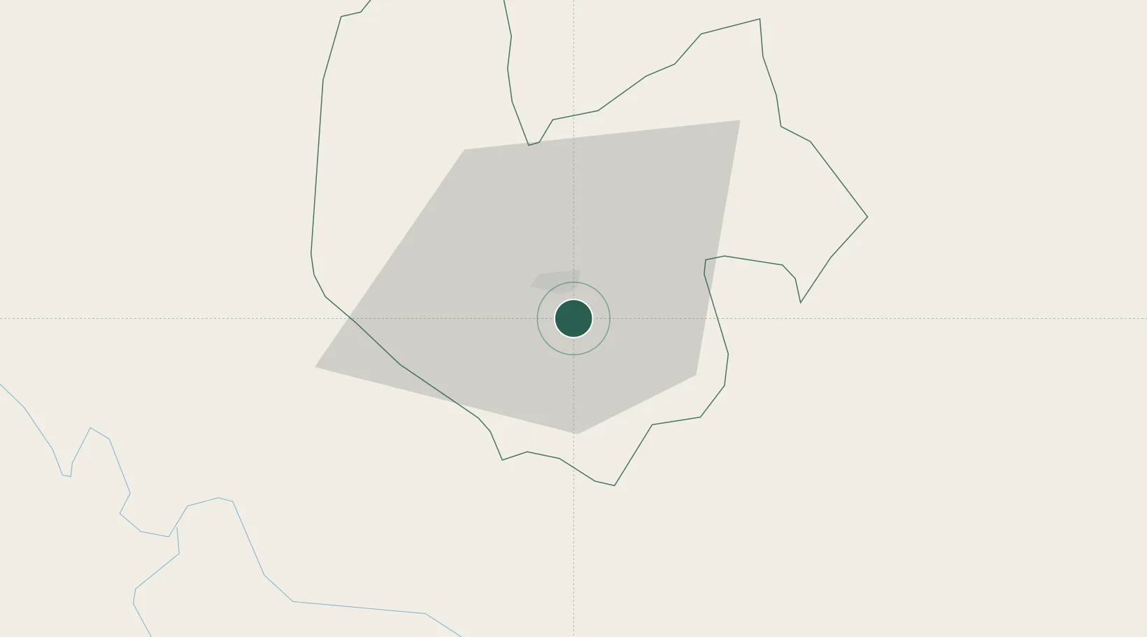
Hub Profile
Place type
Regional capital
Region
Thai Nguyen
Population
420,000
Time zone
Asia/Bangkok
Elevation
36 m
Location
Nearby Logistics Neighbours
Ports
- 1Hai Phong110 km
- 2Hon Gai141 km
- 3Cam Pha166 km
- 4Fang-Cheng258 km
- 5Qinzhou282 km
Airports
- 1Noi Bai International Airport37 km
- 2Gia Lam Air Base57 km
- 3Cat Bi International Airport121 km
- 4Baihe Ningming Air Base145 km
- 5Van Don International Airport167 km
Trade Zones
DatabookThe Record of Consolidated Knowledge
Vietnam beyond logistics?