Diversified Zone · Vietnam

Gia Bình 1 Industrial Park Under Development
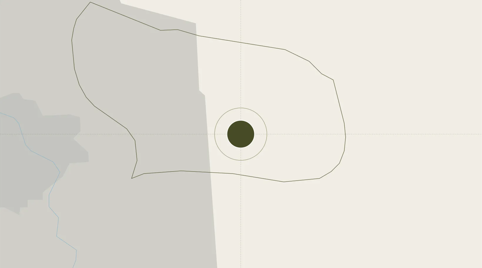
21.0553°, 106.1636°
306 ha
Zone area
56.1 km
Nearest port
28.9 km
Nearest airport

Gateway access

Nearest neighbours — logibook spatial index (haversine) over the source coordinates

Zone profile

Zone type
Diversified Zone
Open Zone Map
Region
Bắc Ninh
Open Zone Map
Status
Under Development
Open Zone Map
Management
Public
Open Zone Map
Operator
Bac Ninh Industrial Zones Authority
Open Zone Map
Legal framework
Decree No.82/2018/ND-CP on Management of Industrial Parks and Economic Zones, Decree No 218/2013/ND-CP
Open Zone Map

Location

Location of ozm-5044
Natural Earth 10m (public domain) · Bắc Ninh · ozm-5044 · 21.06, 106.16GoogleOSMYandex

Nearby Logistics Neighbours

Ports
  1. 1Hai Phong56 km
  2. 2Hon Gai95 km
  3. 3Cam Pha125 km
  4. 4Fang-Cheng239 km
  5. 5Nghe Tinh258 km
Nearest neighbours — logibook spatial index (haversine) over the source coordinates
Airports
  1. 1Gia Lam Air Base29 km
  2. 2Noi Bai International Airport41 km
  3. 3Cat Bi International Airport64 km
  4. 4Van Don International Airport130 km
  5. 5Tho Xuan Airport147 km
Nearest neighbours — logibook spatial index (haversine) over the source coordinates
Cities
  1. 1Luong Tai10 km
  2. 2Hanoi19 km
  3. 3Gia Lam33 km
  4. 4Vat Cach49 km
  5. 5Hoa Mac50 km
Nearest neighbours — logibook spatial index (haversine) over the source coordinates
Trade Zones
  1. 1Thuan Thanh Industrial Estate6 km
  2. 2Thuan Thanh 2 Industrial Zone6 km
  3. 3Que Vo 3 Industrial Zone9 km
  4. 4Que Vo Ii Industrial Zone10 km
  5. 5Que Vo 1 Expansion Industrial Zone10 km
Nearest neighbours — logibook spatial index (haversine) over the source coordinates
DatabookThe Record of Consolidated Knowledge
Vietnam beyond logistics?
Browse databook

All Sources

Trade ZonesOpen Zone Map
CC BY
Portsthe NGA World Port Index
Public domain (US gov)
AirportsOurAirports
Public domain
LocationsUN/LOCODE
UN/LOCODE — free
← Vietnam trade zones