UN/LOCODE hub · Vietnam
VNGIL

Gia Lam

21.0667°, 106.4833°
2
Transport functions

Transport Functions

Road
Multimodal
UN/LOCODE

Hub Profile

Place type
Populated place
GeoNames
Region
Bac Ninh
GeoNames
Time zone
Asia/Bangkok
GeoNames
Elevation
15 m
GeoNames

Location

Location of VNGIL
Natural Earth 10m (public domain) · Bac Ninh · VNGIL · 21.07, 106.48GoogleOSMYandex

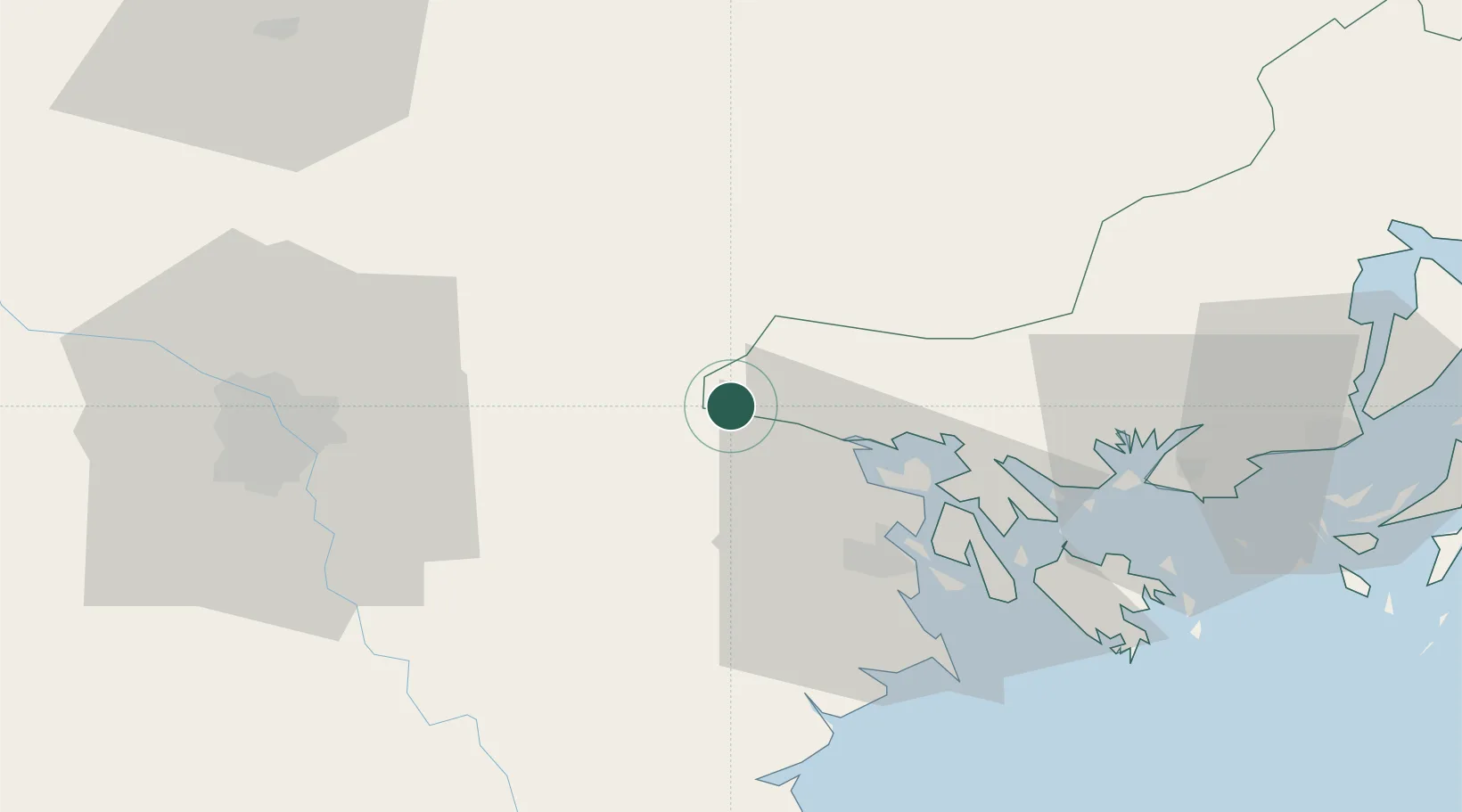
Nearby Logistics Neighbours

Cities
  1. 1Vat Cach24 km
  2. 2Cua Cam Terminal30 km
  3. 3Doan Xa Terminal30 km
  4. 4Transvina Terminal30 km
  5. 5Chua Ve Terminal32 km
Nearest neighbours — logibook spatial index (haversine) over the source coordinates
Ports
  1. 1Hai Phong27 km
  2. 2Hon Gai62 km
  3. 3Cam Pha92 km
  4. 4Fang-Cheng208 km
  5. 5Qinzhou230 km
Nearest neighbours — logibook spatial index (haversine) over the source coordinates
Airports
  1. 1Cat Bi International Airport37 km
  2. 2Gia Lam Air Base62 km
  3. 3Noi Bai International Airport72 km
  4. 4Van Don International Airport97 km
  5. 5Baihe Ningming Air Base135 km
Nearest neighbours — logibook spatial index (haversine) over the source coordinates
Trade Zones
  1. 1Cộng Hòa (Phase 2) Industrial Zone10 km
  2. 2Kim Thành Industrial Zone10 km
  3. 3Cộng Hòa (Phase 1) Industrial Zone11 km
  4. 4Lai Vu Industrial Zone13 km
  5. 5Nam Sach Industrial Zone16 km
Nearest neighbours — logibook spatial index (haversine) over the source coordinates
DatabookThe Record of Consolidated Knowledge
Vietnam beyond logistics?
Browse databook

All Sources

LocationsUN/LOCODE
UN/LOCODE — free
Portsthe NGA World Port Index
Public domain (US gov)
AirportsOurAirports
Public domain
Trade Zonesthe World Bank SEZ database
CC BY 4.0
Trade ZonesOpen Zone Map
CC BY
← Vietnam locations