Industrial Zone · Vietnam

Que Vo I Industrial Zone Active
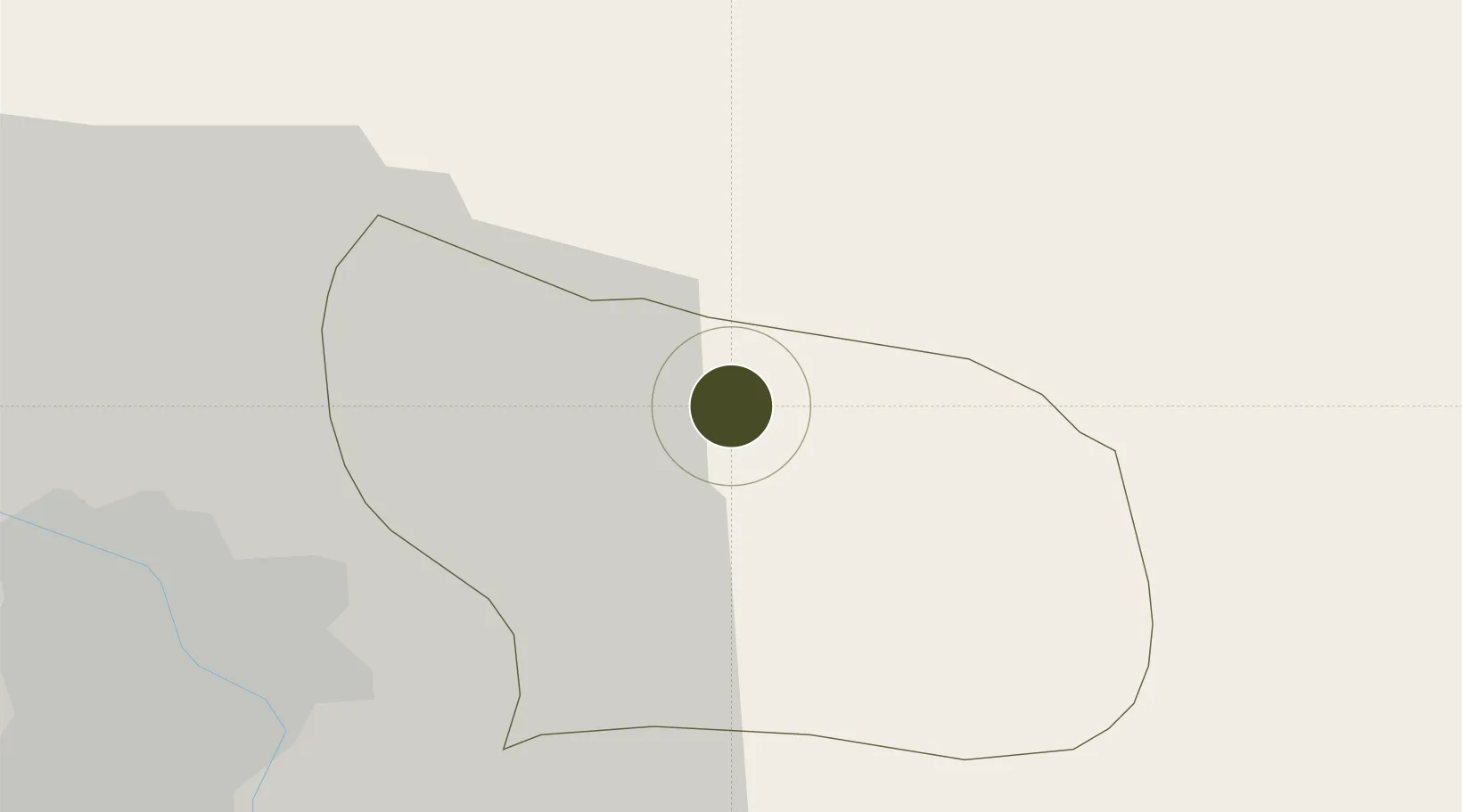
21.1554°, 106.1142°
16 ha
Zone area
64.8 km
Nearest port
26.9 km
Nearest airport

Gateway access

Nearest neighbours — logibook spatial index (haversine) over the source coordinates

Zone profile

Zone type
Industrial Zone
the World Bank SEZ database
Region
Bắc Ninh
the World Bank SEZ database
Status
Active
the World Bank SEZ database
Established
2003
the World Bank SEZ database
Management
Private management
the World Bank SEZ database
Operator
Kinh Bac City Development JSC
the World Bank SEZ database
Regulatory authority
Chairmen of Provincial People's Committees
the World Bank SEZ database
Legal framework
Law on Foreign Investment in Vietnam, 1996; Decree No. 36/1997/CP on The Regulation of Industrial, Economic and Export processing zones
the World Bank SEZ database

Location

Location of VNM63
Natural Earth 10m (public domain) · Bắc Ninh · VNM63 · 21.16, 106.11GoogleOSMYandex

Fiscal & incentives

Corporate tax
20%
the World Bank SEZ database
Tax relief
100% exempt
the World Bank SEZ database
Relief duration
4 years
the World Bank SEZ database
VAT
No exemption
the World Bank SEZ database
Import duty (inputs)
0% exempt
the World Bank SEZ database
Import duty (capex)
100% exempt
the World Bank SEZ database
Profit repatriation
No exemption
the World Bank SEZ database
Capital gains
No exemption
the World Bank SEZ database
Withholding tax
No exemption
the World Bank SEZ database
Min. investment
None
the World Bank SEZ database
Min. export
0%
the World Bank SEZ database
Employment incentive
No exemption
the World Bank SEZ database
Developer incentive
No established framework
the World Bank SEZ database

Nearby Logistics Neighbours

Ports
  1. 1Hai Phong65 km
  2. 2Hon Gai101 km
  3. 3Cam Pha131 km
  4. 4Fang-Cheng241 km
  5. 5Qinzhou264 km
Nearest neighbours — logibook spatial index (haversine) over the source coordinates
Airports
  1. 1Gia Lam Air Base27 km
  2. 2Noi Bai International Airport33 km
  3. 3Cat Bi International Airport74 km
  4. 4Van Don International Airport135 km
  5. 5Baihe Ningming Air Base150 km
Nearest neighbours — logibook spatial index (haversine) over the source coordinates
Cities
  1. 1Hanoi13 km
  2. 2Luong Tai21 km
  3. 3Gia Lam40 km
  4. 4Thái Nguyên51 km
  5. 5Vat Cach59 km
Nearest neighbours — logibook spatial index (haversine) over the source coordinates
Trade Zones
  1. 1Nam Son-Hap Linh Industrial Estate2 km
  2. 2Que Vo 1 Expansion Industrial Zone2 km
  3. 3Quang Chau Industrial Zone7 km
  4. 4Que Vo 3 Industrial Zone8 km
  5. 5Thuan Thanh Industrial Estate10 km
Nearest neighbours — logibook spatial index (haversine) over the source coordinates
DatabookThe Record of Consolidated Knowledge
Vietnam beyond logistics?
Browse databook

All Sources

Trade Zonesthe World Bank SEZ database
CC BY 4.0
Portsthe NGA World Port Index
Public domain (US gov)
AirportsOurAirports
Public domain
LocationsUN/LOCODE
UN/LOCODE — free
← Vietnam trade zones