Diversified Zone · Vietnam

Nam Dong Ha Industrial Zone Active
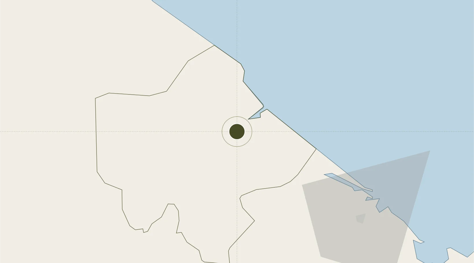
16.8187°, 107.0968°
136 ha
Zone area
143.7 km
Nearest port
79.6 km
Nearest airport

Gateway access

Nearest neighbours — logibook spatial index (haversine) over the source coordinates

Zone profile

Zone type
Diversified Zone
Open Zone Map
Region
Quảng Trị
Open Zone Map
Status
Active
Open Zone Map
Management
Public
Open Zone Map
Operator
Management Board of Quang Tri Province Industrial Zones Project
Open Zone Map
Legal framework
Decree No.82/2018/ND-CP on Management of Industrial Parks and Economic Zones, Decree No 218/2013/ND-CP
Open Zone Map

Location

Location of ozm-5085
Natural Earth 10m (public domain) · Quảng Trị · ozm-5085 · 16.82, 107.10GoogleOSMYandex

Nearby Logistics Neighbours

Ports
  1. 1Da Nang144 km
  2. 2Nghe Tinh258 km
  3. 3Sanya300 km
  4. 4Basuo300 km
  5. 5Yangpu392 km
Nearest neighbours — logibook spatial index (haversine) over the source coordinates
Airports
  1. 1Phu Bai International Airport80 km
  2. 2Dong Hoi Airport94 km
  3. 3Da Nang International Airport146 km
  4. 4Chu Lai Airport233 km
  5. 5Pakse International Airport234 km
Nearest neighbours — logibook spatial index (haversine) over the source coordinates
Cities
  1. 1Cua Viet Port12 km
  2. 2Tan Dinh12 km
  3. 3Quang Ninh81 km
  4. 4Phú Bai84 km
  5. 5Chan May Port110 km
Nearest neighbours — logibook spatial index (haversine) over the source coordinates
Trade Zones
  1. 1Tu Ha Industrial Zone52 km
  2. 2Bang Industrial Zone54 km
  3. 3Lao Bao Special Trade-Economic Zone58 km
  4. 4Phu Bai Industrial Zone80 km
  5. 5Tay Bac Quan Hau Industrial Zone82 km
Nearest neighbours — logibook spatial index (haversine) over the source coordinates
DatabookThe Record of Consolidated Knowledge
Vietnam beyond logistics?
Browse databook

All Sources

Trade ZonesOpen Zone Map
CC BY
Portsthe NGA World Port Index
Public domain (US gov)
AirportsOurAirports
Public domain
LocationsUN/LOCODE
UN/LOCODE — free
← Vietnam trade zones