Large airport · Laos

Pakse International AirportVLPS
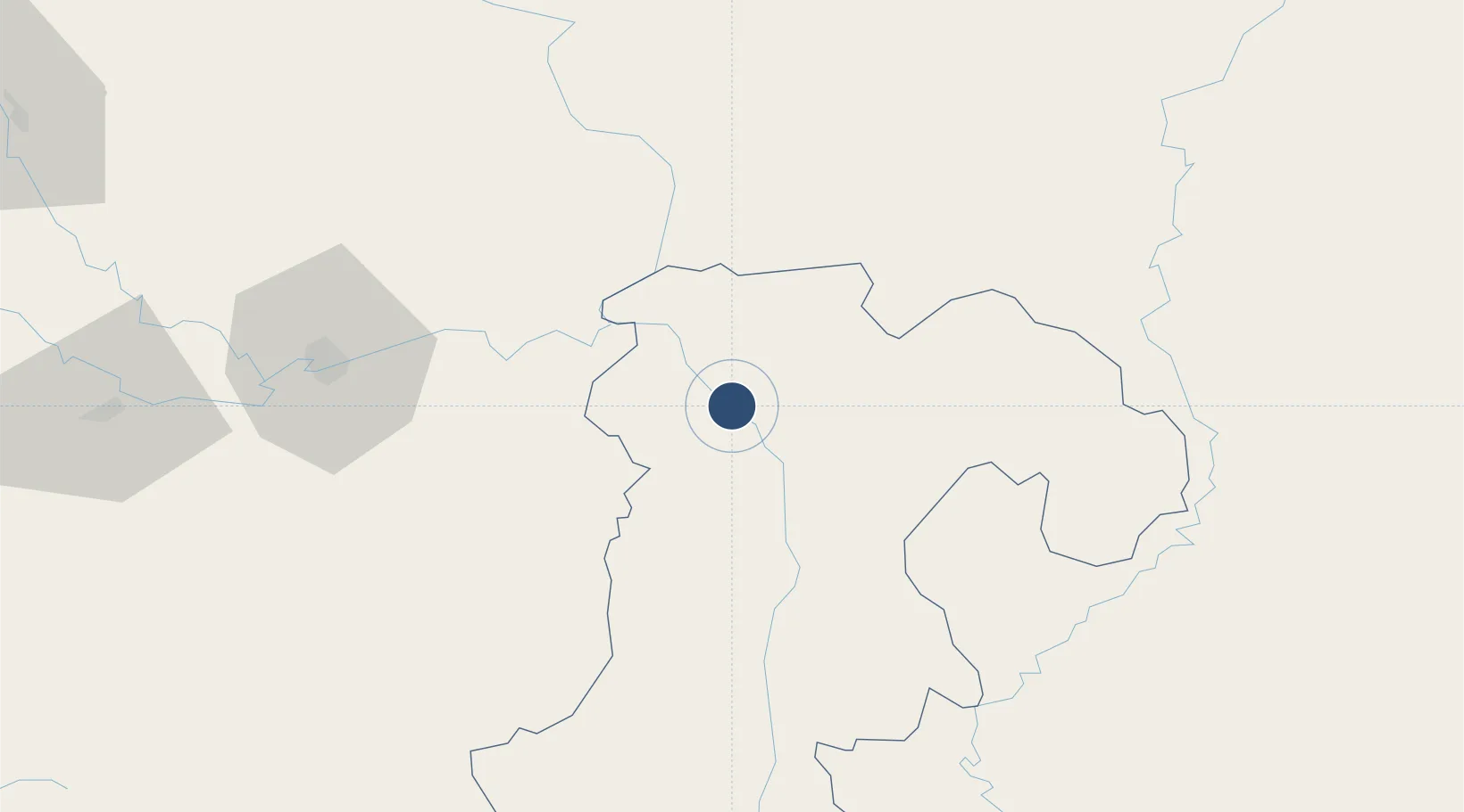
15.1340°, 105.7799°
7,874 ft
Longest runway
1
Runways
351 ft
Elevation

Runway & Layout

Pakse International Airport runway & taxiway layout
Runway & taxiway layout — OpenStreetMap (ODbL) / OurAirports

Radio Frequencies

TWR
118.5 MHz
OurAirports

Navaids

PAK VOR-DME Pakse 115.00 MHz
PS NDB Pakse 220 kHz
OurAirports

Runways · 1

RunwayDimensions SurfaceTrue headingLit
15/33 7,874 × 147ft Concrete 147°
OurAirports

Airport Specifications

IATA code
PKZ
OurAirports
ICAO code
VLPS
OurAirports
Airport class
Large airport
OurAirports
Scheduled service
Yes
OurAirports
Runway surface
Concrete
OurAirports
Served city
Pakse
OurAirports

Location

Location of VLPS
Natural Earth 10m (public domain) · Champasak · VLPS · 15.13, 105.78GoogleOSMYandex

Nearby Logistics Neighbours

Airports
  1. 1Ubon Ratchathani Airport99 km
  2. 2Savannakhet Airport192 km
  3. 3Ratanakiri Airport203 km
  4. 4Roi Et Airport241 km
  5. 5Surin Airport247 km
Nearest neighbours — logibook spatial index (haversine) over the source coordinates
Cities
  1. 1Vangtao36 km
  2. 2Savannakhét195 km
  3. 3Tan Dinh226 km
  4. 4Tan Canh227 km
  5. 5Cua Viet Port246 km
Nearest neighbours — logibook spatial index (haversine) over the source coordinates
Ports
  1. 1Da Nang282 km
  2. 2Qui Nhon402 km
  3. 3Nghe Tinh404 km
  4. 4Thanh Hoa492 km
  5. 5Nha Trang492 km
Nearest neighbours — logibook spatial index (haversine) over the source coordinates
Trade Zones
  1. 1Pakse - Japan Sme Special Economic Zone17 km
  2. 2Vangtao-Phonethong Special Economic Zone34 km
  3. 3Mahanathy Siphandone Special Economic Zone110 km
  4. 4Lao Bao Special Trade-Economic Zone186 km
  5. 5Mukdahan Special Economic Zone195 km
Nearest neighbours — logibook spatial index (haversine) over the source coordinates
DatabookThe Record of Consolidated Knowledge
Laos beyond logistics?
Browse databook

All Sources

AirportsOurAirports
Public domain
Portsthe NGA World Port Index
Public domain (US gov)
LocationsUN/LOCODE
UN/LOCODE — free
Trade Zonesthe World Bank SEZ database
CC BY 4.0
Trade ZonesOpen Zone Map
CC BY
InfrastructureOpenStreetMap
ODbL 1.0
← Laos airports