UN/LOCODE hub · Vietnam
VNCMY

Chan May Port

16.3333°, 108.0000°
2
Transport functions

Transport Functions

Port
Road
UN/LOCODE

Hub Profile

Region
26
GeoNames

Location

Location of VNCMY
Natural Earth 10m (public domain) · 26 · VNCMY · 16.33, 108.00GoogleOSMYandex

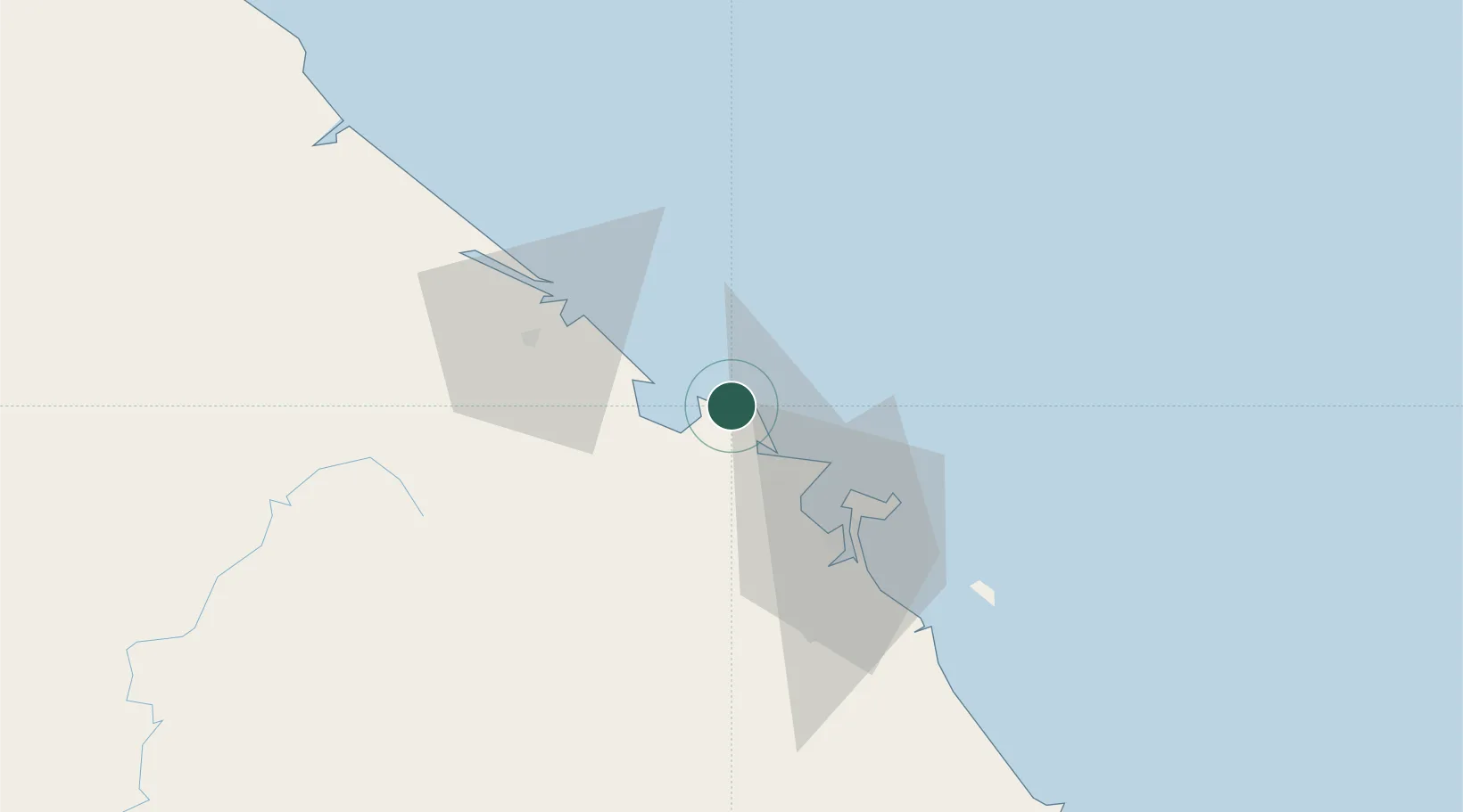
Nearby Logistics Neighbours

Cities
  1. 1Phú Bai29 km
  2. 2Tien Sa Terminal32 km
  3. 3Da Nang36 km
  4. 4Hai Son36 km
  5. 5Nguyen Van Troi Port39 km
Nearest neighbours — logibook spatial index (haversine) over the source coordinates
Ports
  1. 1Da Nang35 km
  2. 2Sanya269 km
  3. 3Basuo315 km
  4. 4Qui Nhon315 km
  5. 5Nghe Tinh360 km
Nearest neighbours — logibook spatial index (haversine) over the source coordinates
Airports
  1. 1Phu Bai International Airport33 km
  2. 2Da Nang International Airport39 km
  3. 3Chu Lai Airport128 km
  4. 4Dong Hoi Airport199 km
  5. 5Pleiku Airport259 km
Nearest neighbours — logibook spatial index (haversine) over the source coordinates
Trade Zones
  1. 1Chan May - Lang Co Economic Zone (Hue)9 km
  2. 2Lien Chieu Industrial Park26 km
  3. 3Hoa Khanh Expanded Industrial Park30 km
  4. 4Da Nang Hi-Tech Park31 km
  5. 5Hoa Khanh Industrial Park31 km
Nearest neighbours — logibook spatial index (haversine) over the source coordinates
DatabookThe Record of Consolidated Knowledge
Vietnam beyond logistics?
Browse databook

All Sources

LocationsUN/LOCODE
UN/LOCODE — free
Portsthe NGA World Port Index
Public domain (US gov)
AirportsOurAirports
Public domain
Trade Zonesthe World Bank SEZ database
CC BY 4.0
Trade ZonesOpen Zone Map
CC BY
← Vietnam locations