Transport Functions
Port
Road
Hub Profile
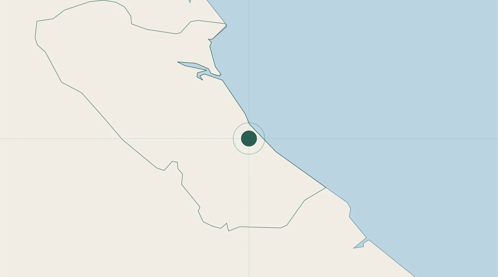
Place type
Populated place
Region
Hanoi
Time zone
Asia/Bangkok
Elevation
23 m
Location
Nearby Logistics Neighbours
Cities
- 1Quäng Bình34 km
- 2Hon La Port61 km
- 3Tan Dinh76 km
- 4Vung Áng77 km
- 5Cua Viet Port79 km
Airports
- 1Dong Hoi Airport14 km
- 2Phu Bai International Airport159 km
- 3Vinh Airport180 km
- 4Nakhon Phanom Airport211 km
- 5Savannakhet Airport220 km
Trade Zones
DatabookThe Record of Consolidated Knowledge
Vietnam beyond logistics?