Diversified Zone · Vietnam

Bang Industrial Zone Active
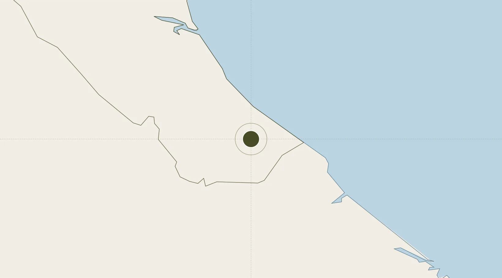
17.1787°, 106.7531°
135 ha
Zone area
196.7 km
Nearest port
41.2 km
Nearest airport

Gateway access

Nearest neighbours — logibook spatial index (haversine) over the source coordinates

Zone profile

Zone type
Diversified Zone
Open Zone Map
Region
Quảng Bình
Open Zone Map
Status
Active
Open Zone Map
Management
Public
Open Zone Map
Operator
Quang Binh Economic Zone Authority
Open Zone Map
Legal framework
Decree No.82/2018/ND-CP on Management of Industrial Parks and Economic Zones, Decree No 218/2013/ND-CP
Open Zone Map

Location

Location of ozm-252
Natural Earth 10m (public domain) · Quảng Bình · ozm-252 · 17.18, 106.75GoogleOSMYandex

Nearby Logistics Neighbours

Ports
  1. 1Da Nang197 km
  2. 2Nghe Tinh205 km
  3. 3Basuo291 km
  4. 4Sanya312 km
  5. 5Yangpu383 km
Nearest neighbours — logibook spatial index (haversine) over the source coordinates
Airports
  1. 1Dong Hoi Airport41 km
  2. 2Phu Bai International Airport133 km
  3. 3Da Nang International Airport199 km
  4. 4Vinh Airport208 km
  5. 5Savannakhet Airport223 km
Nearest neighbours — logibook spatial index (haversine) over the source coordinates
Cities
  1. 1Quang Ninh28 km
  2. 2Tan Dinh49 km
  3. 3Cua Viet Port54 km
  4. 4Quäng Bình57 km
  5. 5Hon La Port88 km
Nearest neighbours — logibook spatial index (haversine) over the source coordinates
Trade Zones
  1. 1Tay Bac Quan Hau Industrial Zone29 km
  2. 2Hòn La Port Industrial Zone37 km
  3. 3Hòn La Industrial Zone Ii37 km
  4. 4Tay Bac Dong Hoi Industrial Zone37 km
  5. 5(Tay) Đồng Hới Industrial Park39 km
Nearest neighbours — logibook spatial index (haversine) over the source coordinates
DatabookThe Record of Consolidated Knowledge
Vietnam beyond logistics?
Browse databook

All Sources

Trade ZonesOpen Zone Map
CC BY
Portsthe NGA World Port Index
Public domain (US gov)
AirportsOurAirports
Public domain
LocationsUN/LOCODE
UN/LOCODE — free
← Vietnam trade zones