Seaport · China
YangpuCNYPG
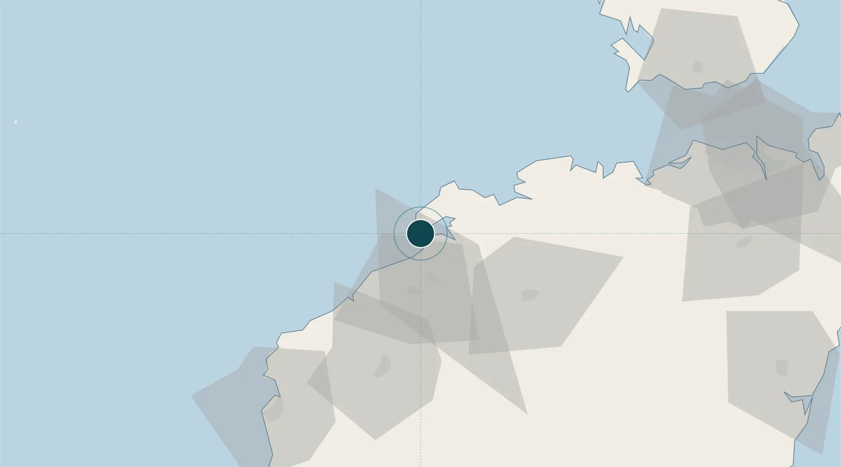
19.7333°, 109.1833°
7.9 m
Channel depth
2
Container terminals
173.6
Port liner connectivity
Channel & Berth Profile
Pilotage, Tugs & Services
Pilotage compulsoryYES
Pilotage availableYES
Tug assistanceYES
Potable waterYES
Facilities & Capabilities
Container—
Ro-Ro—
Liquid bulk—
Dry bulk—
Oil terminal—
Break bulk—
Dry dock—
RepairsNO
BunkeringYES
Rail link—
Dangerous cargo—
ISPS security—
Harbour Specifications
Harbour size
Very Small
Harbour type
Coastal (Breakwater)
Shelter
Poor
Water body
Gulf of Tonkin; South China Sea; North Pacific Ocean
Tidal range
2 m
Pilotage
Yes
Liner Connectivity
173.6
PLSCI
Port Liner Shipping Connectivity Index for Yangpu, as published by UNCTAD for the latest available quarter. Higher values indicate stronger scheduled liner-shipping integration.
Shown relative to the highest per-port PLSCI in the dataset (1,657.9).
Location
Container Terminals · 2
SDIC YANGPU PORT CONTAINER TERMINAL
SDIC SDIC YANGPU PORT CO., LTD.
YANGPU INTERNATIONAL CONTAINER TERMINAL (YPICT)
YPICT HAINAN HARBOR & SHIPPING INTERNATIONAL PORT CO., LTD. / COSCO SHIPPING
Nearby Logistics Neighbours
Cities
- 1Baimajing5 km
- 2Xinying11 km
- 3Haikou New Pt68 km
- 4Dongfang80 km
- 5Macun90 km
Airports
- 1Jialaishi Air Base57 km
- 2Foluo Northeast Air Base116 km
- 3Haikou Meilan International Airport135 km
- 4Qionghai Bo'ao Airport149 km
- 5Sanya Phoenix International Airport161 km
DatabookThe Record of Consolidated Knowledge
China beyond logistics?