Diversified Zone · Vietnam

Phu Bai Industrial Zone Active
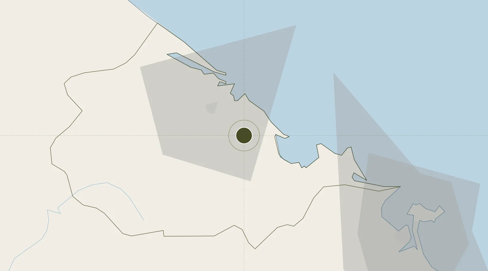
16.3834°, 107.6942°
74,347 ha
Zone area
64.1 km
Nearest port
2.1 km
Nearest airport

Gateway access

Nearest neighbours — logibook spatial index (haversine) over the source coordinates

Zone profile

Zone type
Diversified Zone
Open Zone Map
Region
Thừa Thiên - Huế
Open Zone Map
Status
Active
Open Zone Map
Management
Public
Open Zone Map
Operator
Industrial Park Infrastructure Investment and Development Company Limited
Open Zone Map
Legal framework
Decree No.82/2018/ND-CP on Management of Industrial Parks and Economic Zones, Decree No 218/2013/ND-CP
Open Zone Map

Location

Location of ozm-5083
Natural Earth 10m (public domain) · Thừa Thiên - Huế · ozm-5083 · 16.38, 107.69GoogleOSMYandex

Nearby Logistics Neighbours

Ports
  1. 1Da Nang64 km
  2. 2Sanya285 km
  3. 3Basuo318 km
  4. 4Qui Nhon335 km
  5. 5Nghe Tinh335 km
Nearest neighbours — logibook spatial index (haversine) over the source coordinates
Airports
  1. 1Phu Bai International Airport2 km
  2. 2Da Nang International Airport66 km
  3. 3Chu Lai Airport154 km
  4. 4Dong Hoi Airport172 km
  5. 5Pakse International Airport248 km
Nearest neighbours — logibook spatial index (haversine) over the source coordinates
Cities
  1. 1Phú Bai5 km
  2. 2Chan May Port33 km
  3. 3Tien Sa Terminal62 km
  4. 4Da Nang66 km
  5. 5Hai Son66 km
Nearest neighbours — logibook spatial index (haversine) over the source coordinates
Trade Zones
  1. 1Tu Ha Industrial Zone28 km
  2. 2Chan May - Lang Co Economic Zone (Hue)35 km
  3. 3Lien Chieu Industrial Park53 km
  4. 4Hoa Khanh Expanded Industrial Park56 km
  5. 5Da Nang Hi-Tech Park57 km
Nearest neighbours — logibook spatial index (haversine) over the source coordinates
DatabookThe Record of Consolidated Knowledge
Vietnam beyond logistics?
Browse databook

All Sources

Trade ZonesOpen Zone Map
CC BY
Portsthe NGA World Port Index
Public domain (US gov)
AirportsOurAirports
Public domain
LocationsUN/LOCODE
UN/LOCODE — free
← Vietnam trade zones